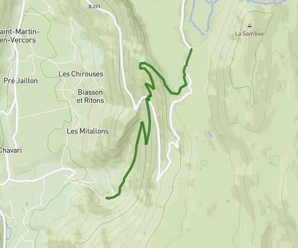
This hiking trail covers 11.874mi starting from Grenoble, Isère. The hike is a loop trail and returns to the trailhead. This hike is rated as strenuous, plan for about 4h to complete it. The route has an elevation gain of 3045ft and an elevation loss of 3045ft.
quichat
Route details
2.97mph
Speed
1816 kcal
Calories burned
9.7%
Avg grade
Loop trail
Route type
692ft
Min altitude
3399ft
Max altitude
Steep climb
Route profile
3045ft
Elevation gain
3045ft
Elevation loss
692ft
Min altitude
3399ft
Max altitude
How to get there
Trailhead: 2 Place Gustave Rivet, 38000 Grenoble, France
GPS coordinates of the trailhead: 45.18206, 5.72762 / 45°10'55'' N, 5°43'39'' E