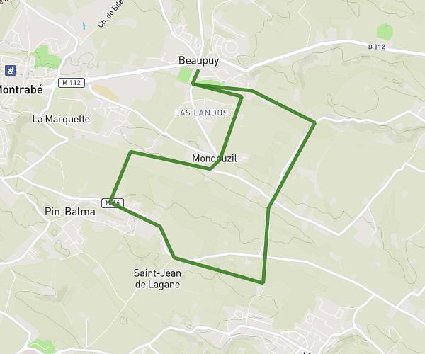
This running route covers 4.525mi starting from Toulouse, Haute-Garonne. The run is a loop trail and returns to the trailhead. This run is rated as easy, expect about 30m to complete it. The route has an elevation gain of 39ft and an elevation loss of 39ft.
Coeur
Route details
9.05mph
Speed
343 kcal
Calories burned
Loop trail
Route type
472ft
Min altitude
512ft
Max altitude
Route profile
39ft
Elevation gain
39ft
Elevation loss
472ft
Min altitude
512ft
Max altitude
How to get there
Trailhead: 1b Place Des Carmes, 31000 Toulouse, France
GPS coordinates of the trailhead: 43.59763, 1.44555 / 43°35'51'' N, 1°26'43'' E