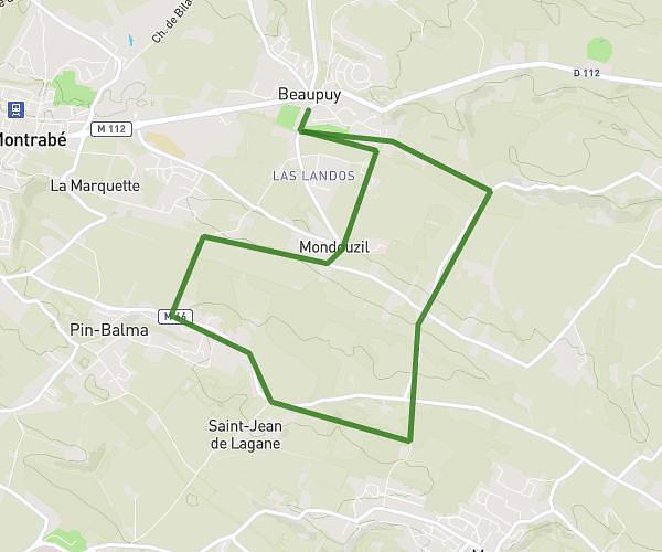
This running route covers 2.172mi starting from Odars, Haute-Garonne. The run is a loop trail and returns to the trailhead. This run is rated as easy, expect about 23m to complete it. The route has an elevation gain of 177ft and an elevation loss of 177ft.
Elisa M. 2
Route details
5.67mph
Speed
263 kcal
Calories burned
Loop trail
Route type
630ft
Min altitude
725ft
Max altitude
Route profile
177ft
Elevation gain
177ft
Elevation loss
630ft
Min altitude
725ft
Max altitude
How to get there
Trailhead: Chemin D'en Peyroulié, 31450 Odars
GPS coordinates of the trailhead: 43.51254, 1.60196 / 43°30'45'' N, 1°36'7'' E