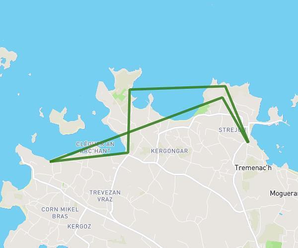
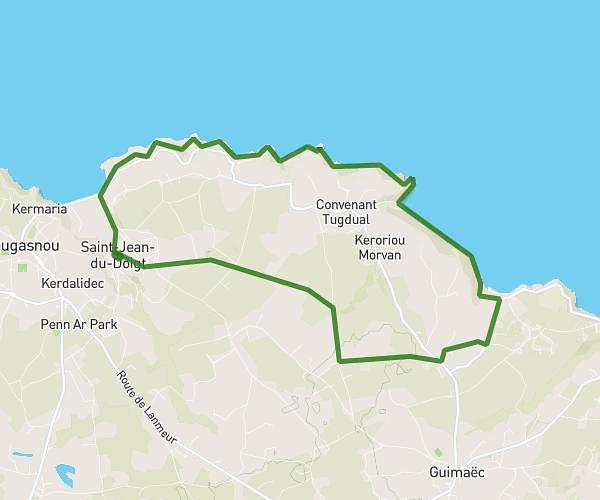
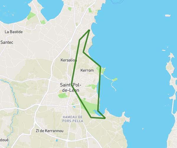
This hiking trail covers 6.802mi starting from Plouescat, Finistère. The hike is a loop trail and returns to the trailhead. This hike is rated as easy, plan for about 3h31m to complete it. The route has an elevation gain of 262ft and an elevation loss of 262ft.
Entre mer et marais départ Poulfoën
Route details
1.93mph
Speed
1495 kcal
Calories burned
1.5%
Avg grade
Loop trail
Route type
-7ft
Min altitude
43ft
Max altitude
Route profile
262ft
Elevation gain
262ft
Elevation loss
-7ft
Min altitude
43ft
Max altitude
How to get there
Trailhead: 6 Rue De Théven Meur, 29430 Plouescat, France
GPS coordinates of the trailhead: 48.68794, -4.16575 / 48°41'16'' N, 4°9'56'' W