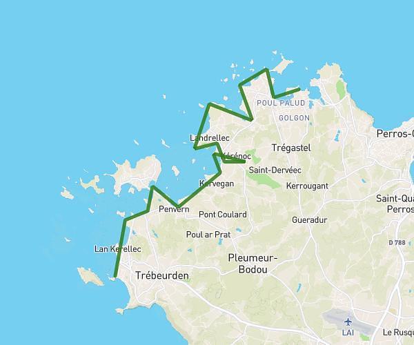
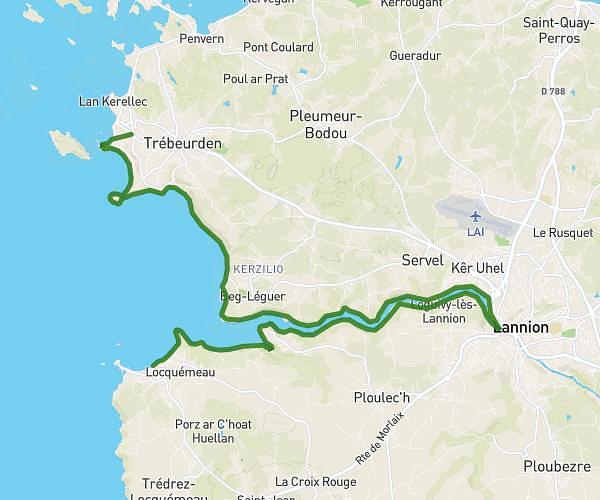
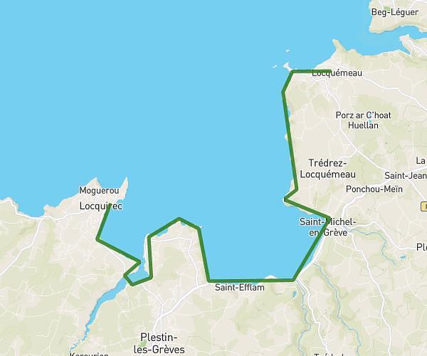
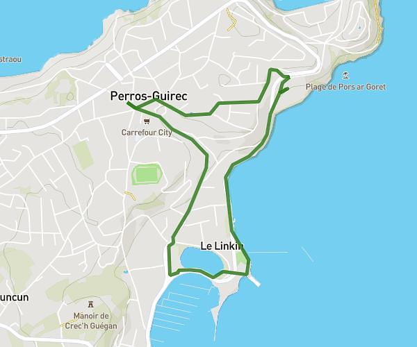
This hiking trail covers 12.555mi starting from Saint-Jean-du-Doigt, Finistère. The hike is a loop trail and returns to the trailhead. This hike is rated as strenuous, plan for about 8h1m to complete it. The route has an elevation gain of 1988ft and an elevation loss of 1982ft.
boucle saint jean du doigt, poul roudou
Route details
1.57mph
Speed
3540 kcal
Calories burned
6.0%
Avg grade
Loop trail
Route type
7ft
Min altitude
341ft
Max altitude
Route profile
1988ft
Elevation gain
1982ft
Elevation loss
7ft
Min altitude
341ft
Max altitude
How to get there
Trailhead: 4 Route De La Plage, 29630 Saint-Jean-du-Doigt, France
GPS coordinates of the trailhead: 48.69498, -3.77369 / 48°41'41'' N, 3°46'25'' W