MapPlanner
2.114mi
Distance
1h30m
Duration
+682ft
Elevation gain
-679ft
Elevation loss
Easy
Level

Le petit Jer à Lourdes

View on Lourdes from the top

Route details

1.41mph
Speed
694 kcal
Calories burned
12.2%
Avg grade
Loop trail
Route type
1821ft
Min altitude
2277ft
Max altitude
Steep climb

This hiking trail covers 2.114mi starting from Lourdes, Hautes-Pyrénées. The hike is a loop trail and returns to the trailhead. This hike is rated as easy, plan for about 1h30m to complete it. The route has an elevation gain of 682ft and an elevation loss of 679ft.

Description of the route by the creator

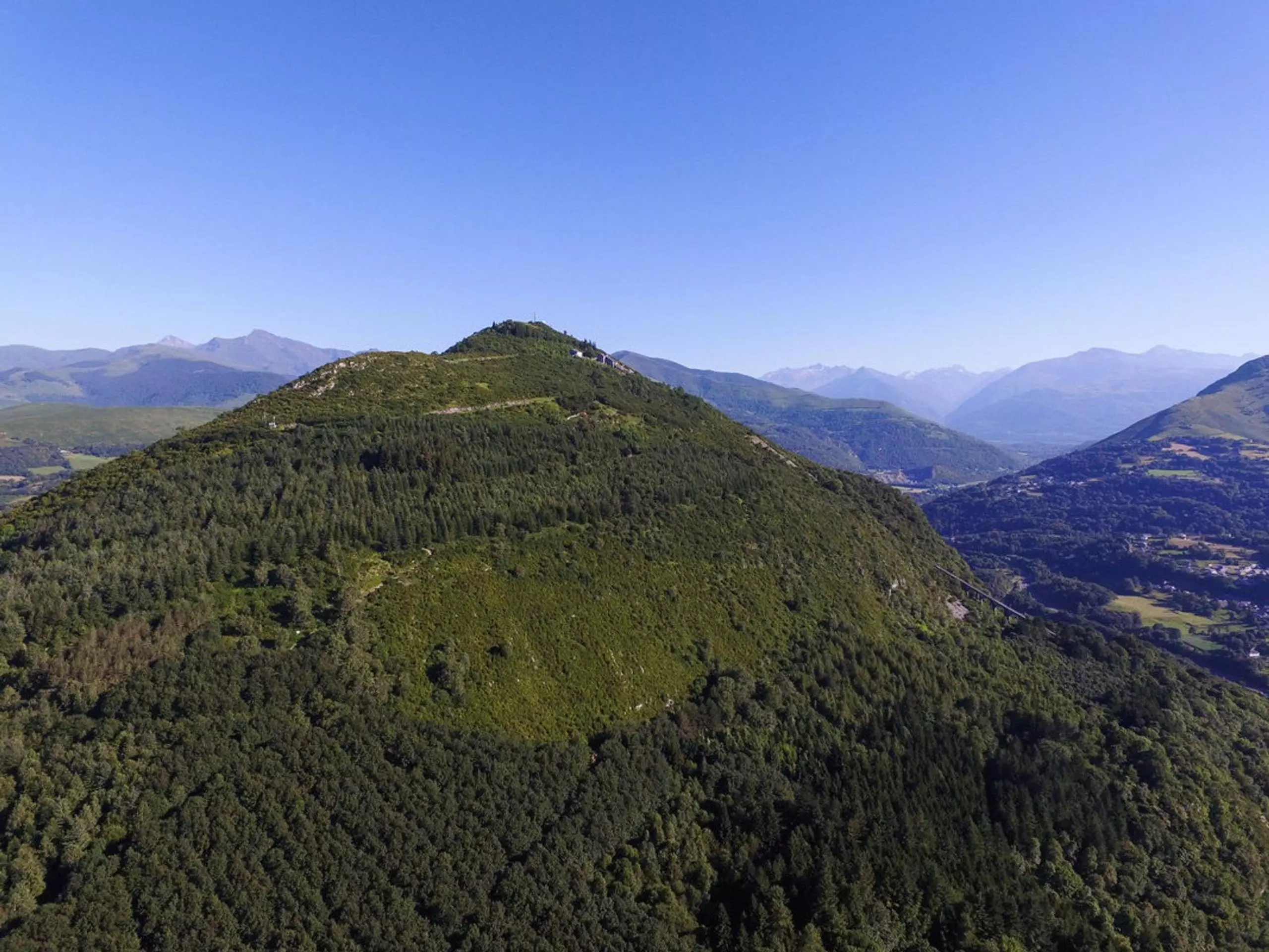
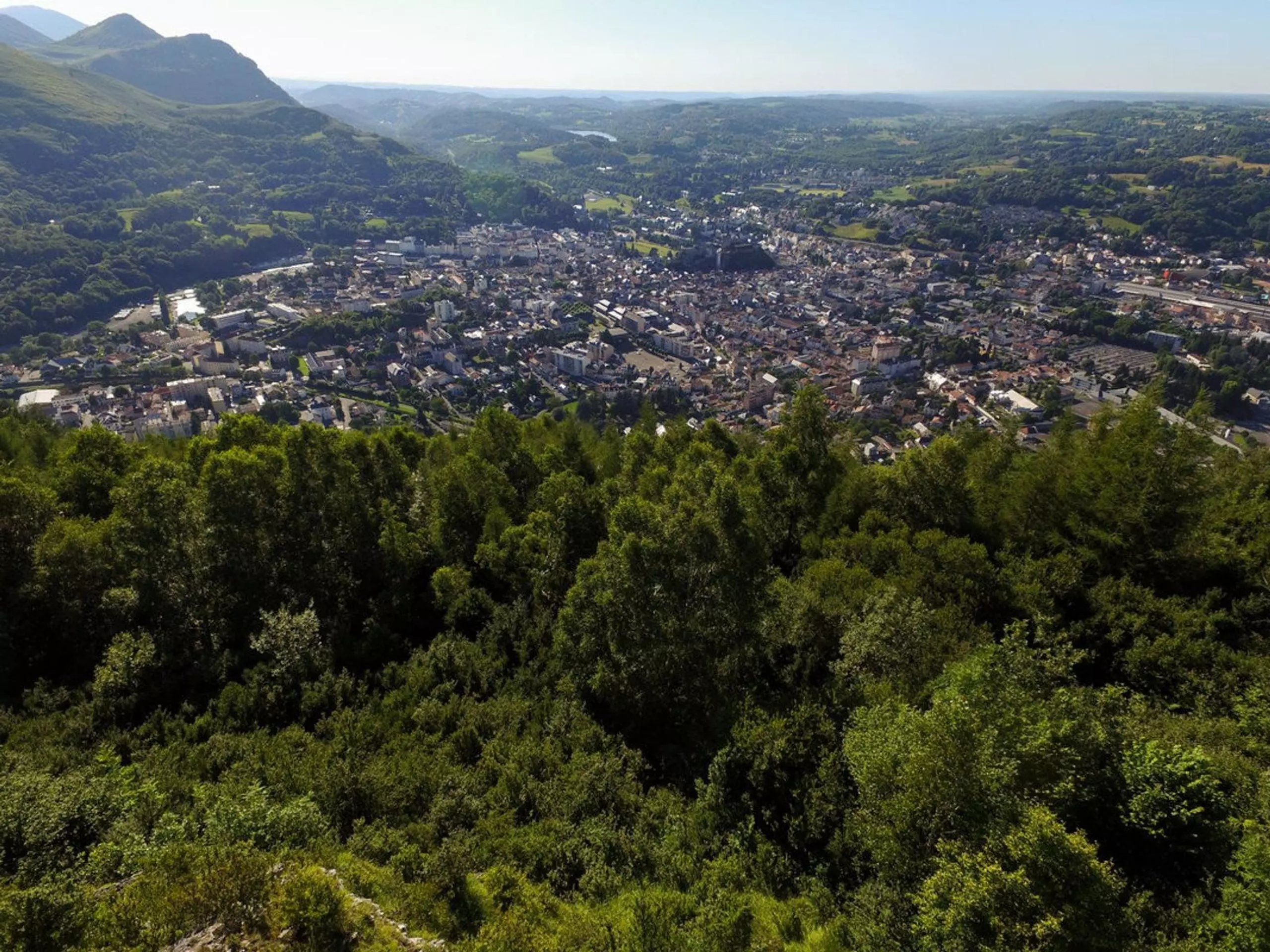
Hike to the Little Jet to admire the view of Lourdes.

(Description automatically translated)

Route profile

682ft
Elevation gain
679ft
Elevation loss
1821ft
Min altitude
2277ft
Max altitude

How to get there

Trailhead: 32 Rue Haout Mounta, 65100 Lourdes, France

GPS coordinates of the trailhead: 43.08914, -0.02571 / 43°5'20'' N, 0°1'32'' W

Caution: May Cross Private Property

This route may pass through or near private property. Always respect posted signs, obtain permission where required, and follow local trespassing laws. MapPlanner does not guarantee public access along any route.

Safety Notice

Trail and road conditions may change without notice due to weather, construction, or other factors. Always verify current conditions before heading out. You are responsible for your own safety — follow local signage, obey traffic laws, and use your best judgment on the trail.