MapPlanner
5.91mi
Distance
3h31m
Duration
+3235ft
Elevation gain
-3156ft
Elevation loss
Hard
Level

Roche Parnal et Pointe de Sur Cou

Mounting of Sub-Dîne from the bottom when climbing
La Roche Parnal from the Chalet de Balme
View of the Sous-Dîne mountain from the Roche Parnal
View on the Mont-Blanc from the Pointe de Sur Cou

Route details

1.9mph
Speed
1740 kcal
Calories burned
20.5%
Avg grade
Loop trail
Route type
3839ft
Min altitude
6237ft
Max altitude
Steep climb

This hiking trail covers 5.91mi starting from La Roche-sur-Foron, Haute-Savoie. The hike is a loop trail and returns to the trailhead. This hike is rated as hard, plan for about 3h31m to complete it. The route has an elevation gain of 3235ft and an elevation loss of 3156ft.

Description of the route by the creator

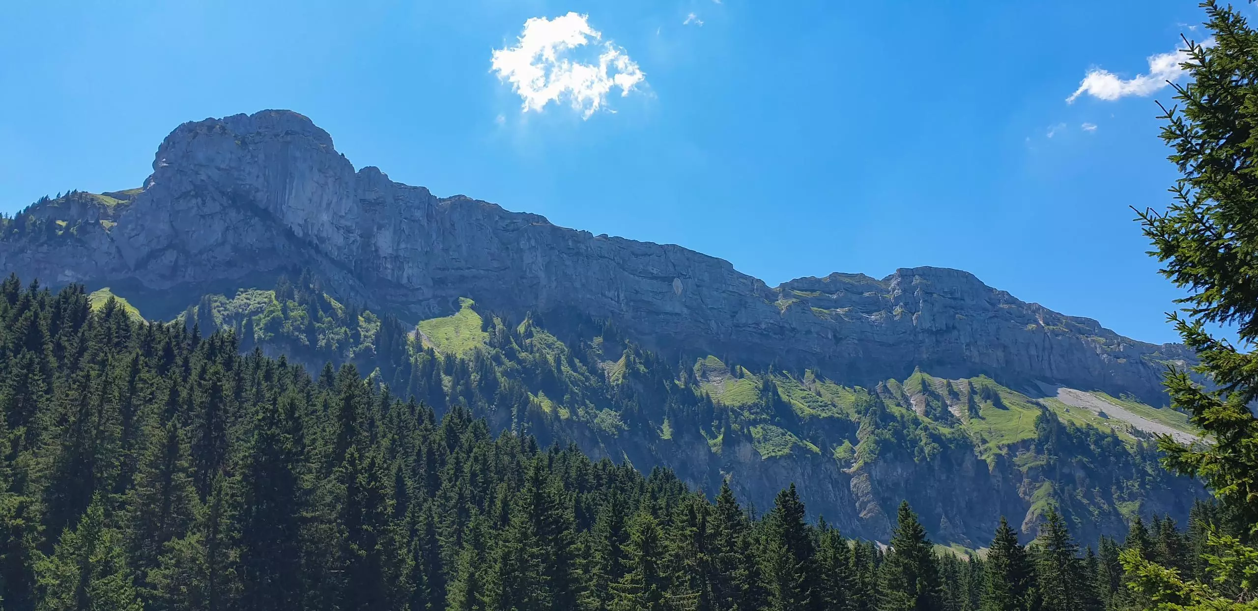
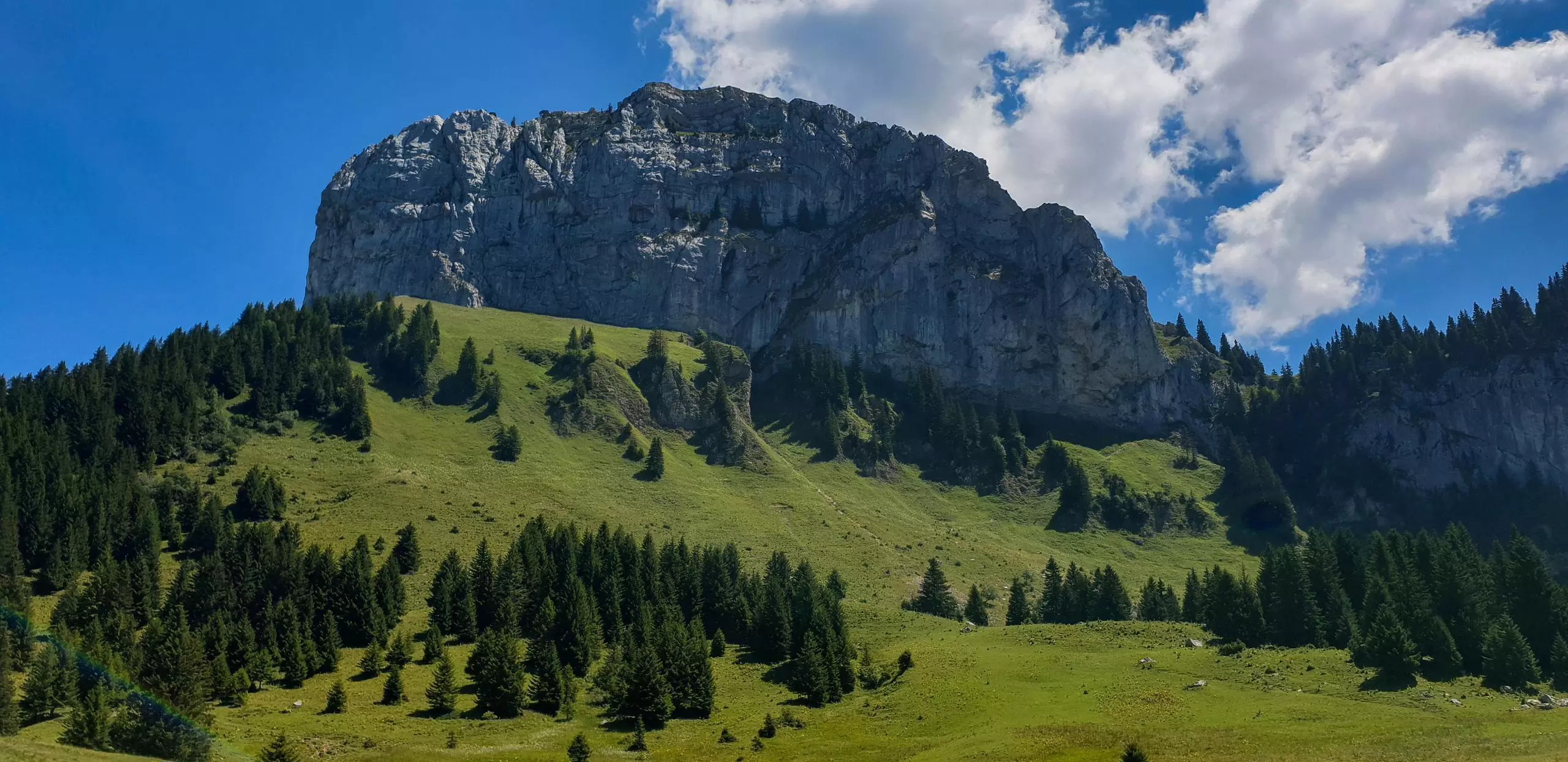
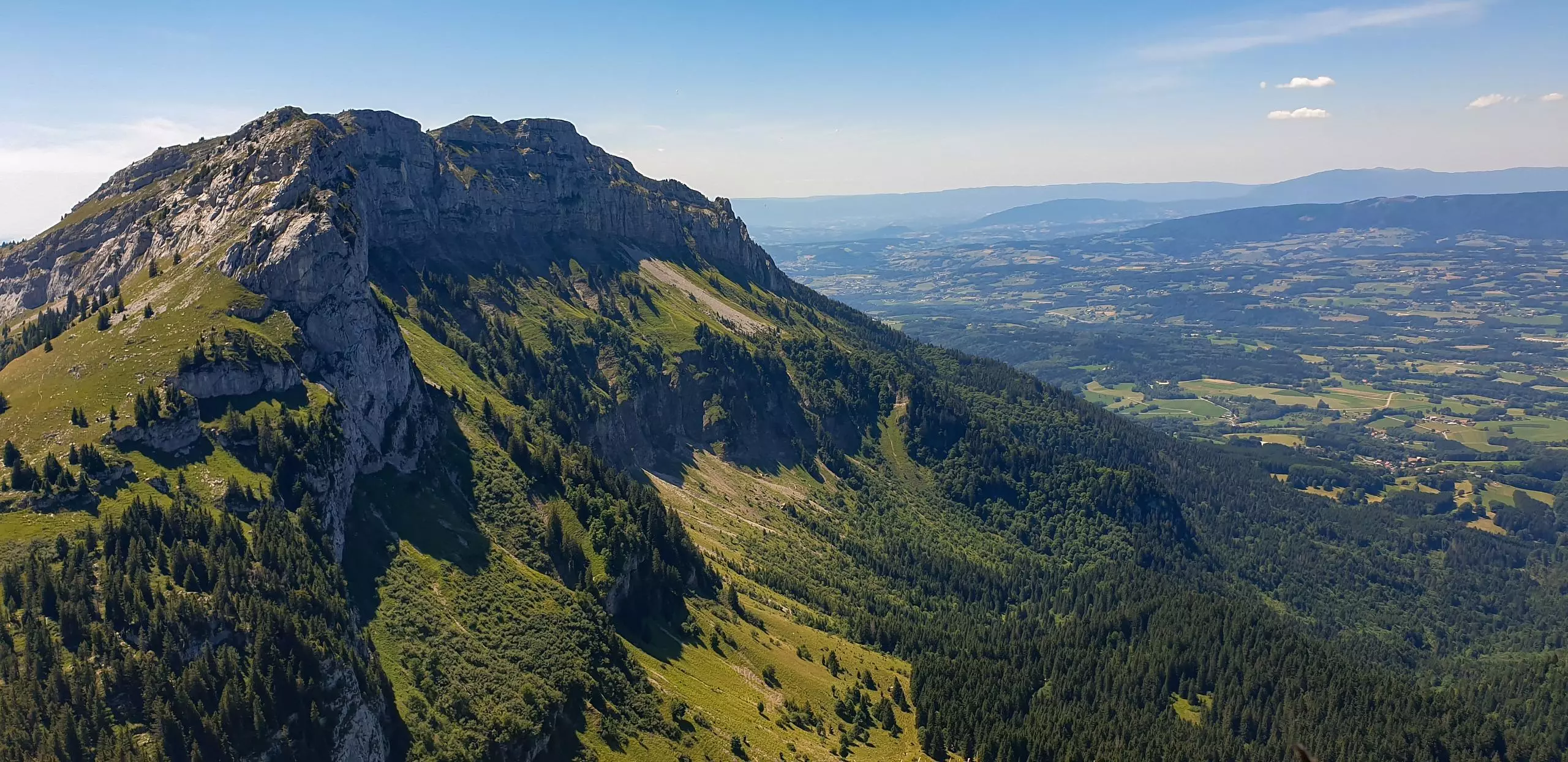
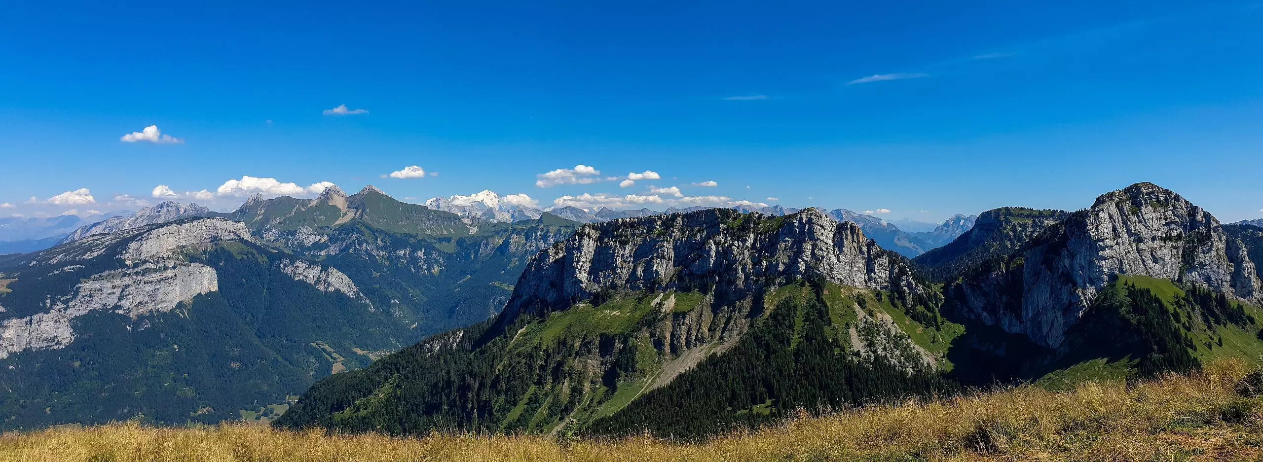
Park at the large parking lot Le Chesnet in the village of Orange. The path starts directly from the parking. First follow the signs to Chalet de Balme. Once you arrive at the Chalet, take the path to the right at the bottom of the cliff towards the Roche Parnal. At the end of the path, there is a more delicate passage. You have to use your hands to hold on along the small cliff for a few meters. Once at the top of the path, turn left to go directly to the top of the Roche Parnal. Take the path that goes down opposite the Roche Parnal to reach the Col du Freu. Then follow the signs to the Col de Cou. You can then go straight to the top of the Pointe de Sur Cou. Go down by the path on the left which goes back directly to the parking, while following the signs.

(Description automatically translated)

Route profile

3235ft
Elevation gain
3156ft
Elevation loss
3839ft
Min altitude
6237ft
Max altitude

How to get there

Trailhead: 900 Chemin Du Chesnet, 74800 La Roche-sur-Foron, France

GPS coordinates of the trailhead: 46.02051, 6.3242 / 46°1'13'' N, 6°19'27'' E

Caution: May Cross Private Property

This route may pass through or near private property. Always respect posted signs, obtain permission where required, and follow local trespassing laws. MapPlanner does not guarantee public access along any route.

Safety Notice

Trail and road conditions may change without notice due to weather, construction, or other factors. Always verify current conditions before heading out. You are responsible for your own safety — follow local signage, obey traffic laws, and use your best judgment on the trail.