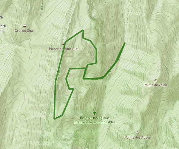

Explore this hiking route of 10.08km starting from Dingy-Saint-Clair, Haute-Savoie. The hike is a loop and returns to the starting point. This hike is rated as difficult, plan for about 4h to complete it. The route has a positive elevation gain of 1233m and a negative elevation loss of 1233m.
Description of the route by the creator
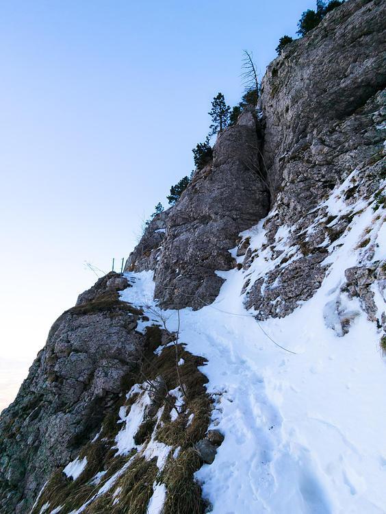
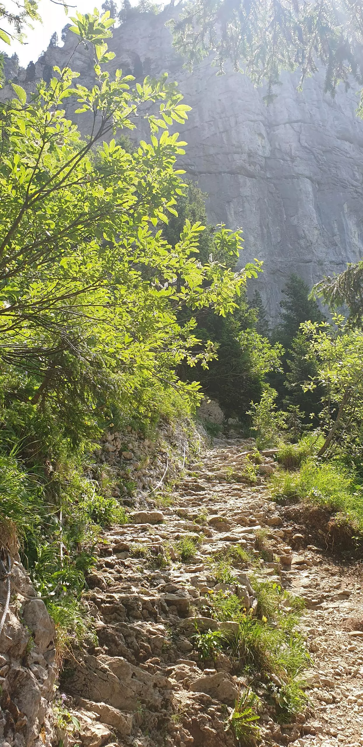
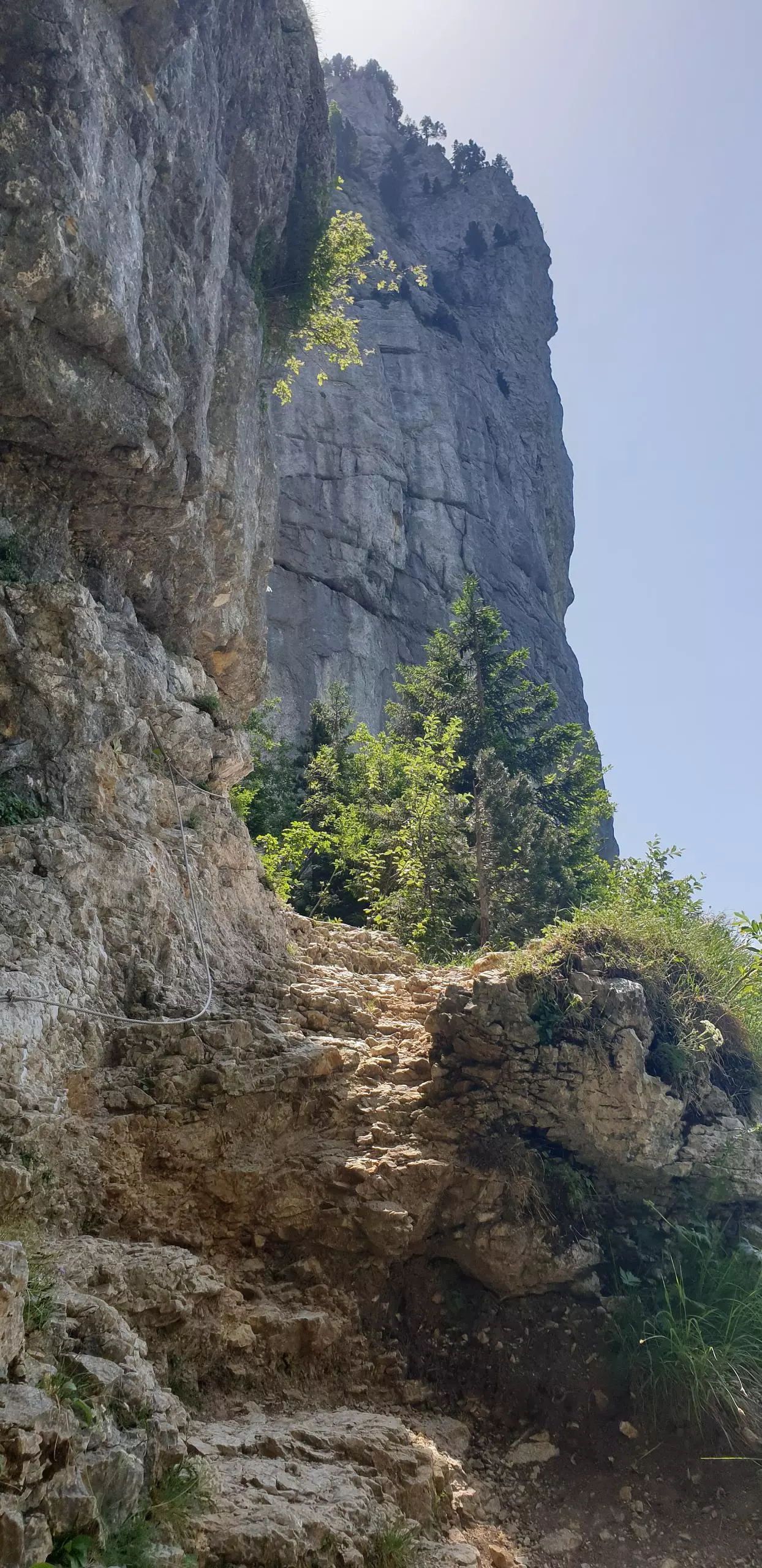
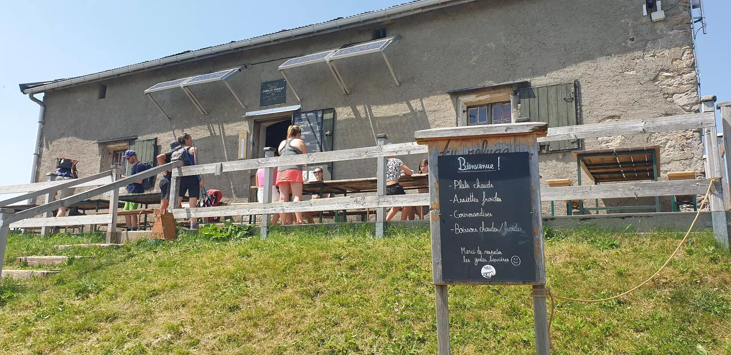
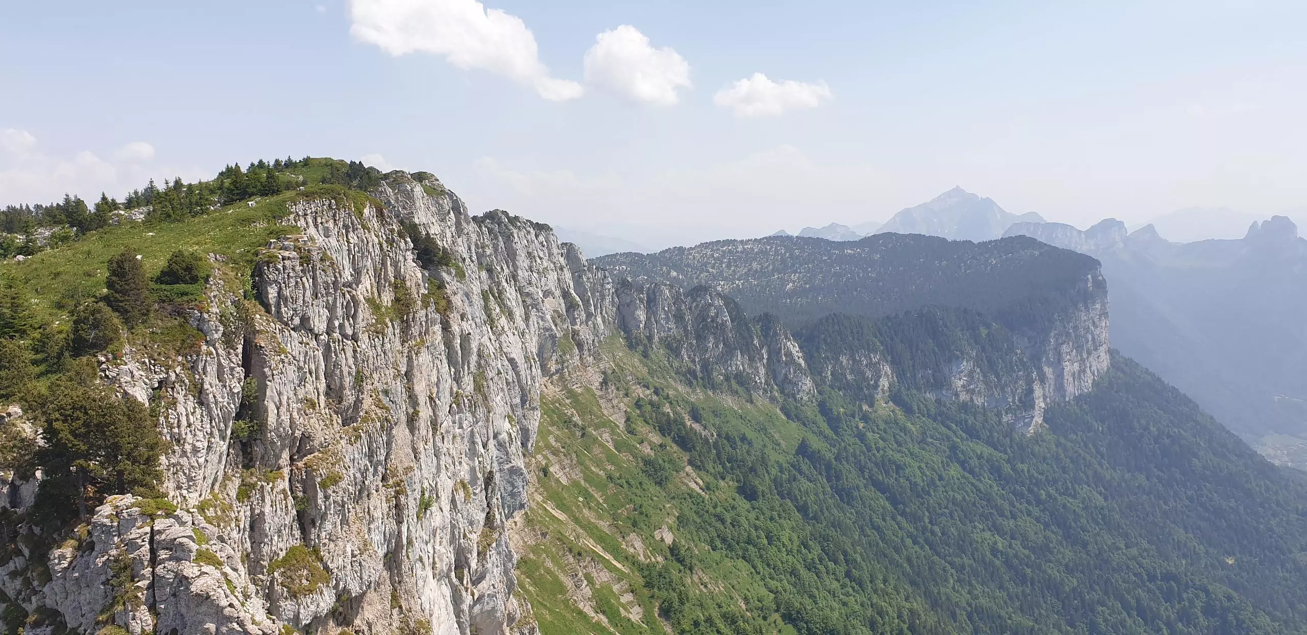
Park in the Saugy parking lot at the end of the road. Then follow the signs Tête du Parmelan - Grand Montoir. The Grand Montoir passage is a bit dizzy and slippery, do it in dry period. Once at the refuge, count 10min round trip to go to the Tête du Parmelan and the cross. Come back to the refuge and continue the path following the signs Col du Pertuis / Parking du Saugy. The path continues close to the cliff and then turns to the left in a steep and very stony slope. Continue towards the Col du Pertuis and then go down towards the Saugy parking.