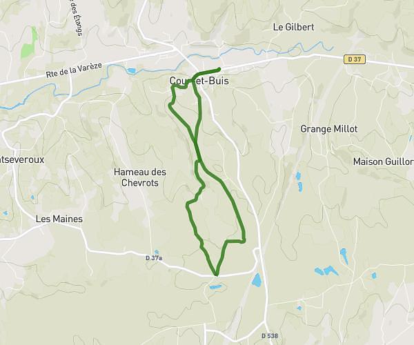
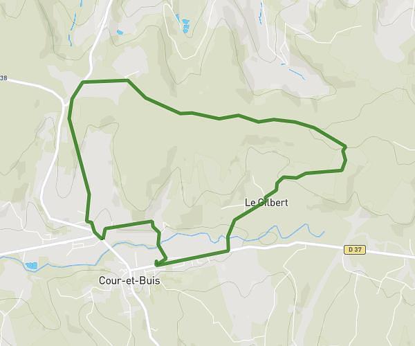
This running route covers 6.919mi starting from Chasse-sur-Rhône, Isère. The run is a loop trail and returns to the trailhead. This run is rated as moderate, expect about 1h7m to complete it. The route has an elevation gain of 466ft and an elevation loss of 469ft.
footing grand parcours chasse sur rhone
Route details
6.2mph
Speed
766 kcal
Calories burned
Loop trail
Route type
568ft
Min altitude
886ft
Max altitude
Route profile
466ft
Elevation gain
469ft
Elevation loss
568ft
Min altitude
886ft
Max altitude
How to get there
Trailhead: 2 Allée Ouest Des Barbières, 38670 Chasse-sur-Rhône, France
GPS coordinates of the trailhead: 45.58535, 4.79636 / 45°35'7'' N, 4°47'46'' E