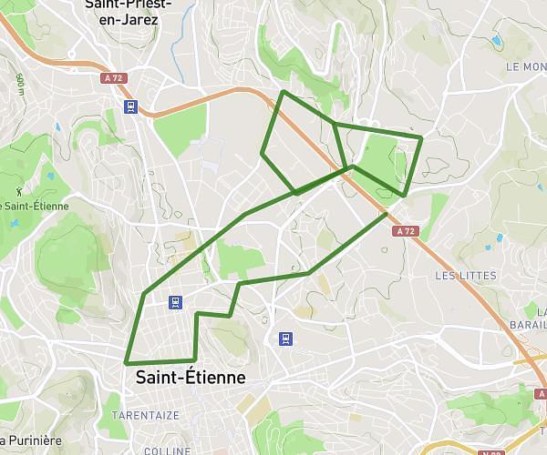
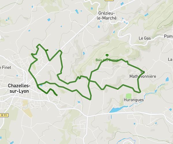
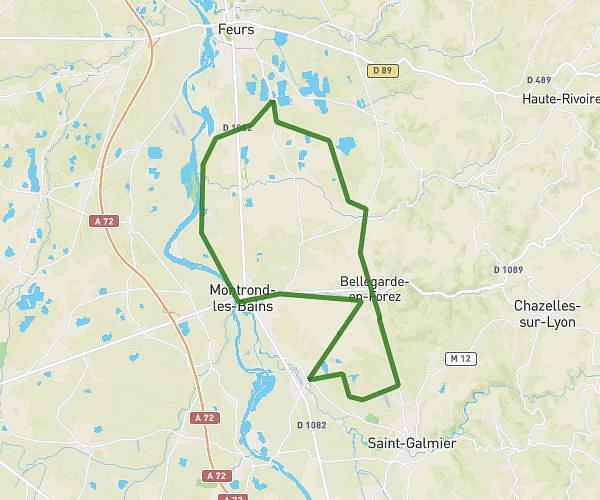
This cycling route covers 8.784mi starting from Boisset-Saint-Priest, Loire. The ride is a loop trail and returns to the trailhead. This route is rated as moderate, plan for about 50m to complete it. The route has an elevation gain of 640ft and an elevation loss of 643ft.
12/08/2023
Route details
446 kcal
Calories burned
2.8%
Avg grade
Loop trail
Route type
1946ft
Min altitude
2211ft
Max altitude
Route profile
640ft
Elevation gain
643ft
Elevation loss
1946ft
Min altitude
2211ft
Max altitude
How to get there
Trailhead: Allée De La Passiflore, 42560 Boisset-Saint-Priest
GPS coordinates of the trailhead: 45.51305, 4.09696 / 45°30'46'' N, 4°5'49'' E