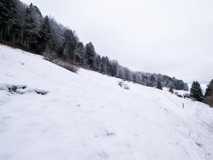
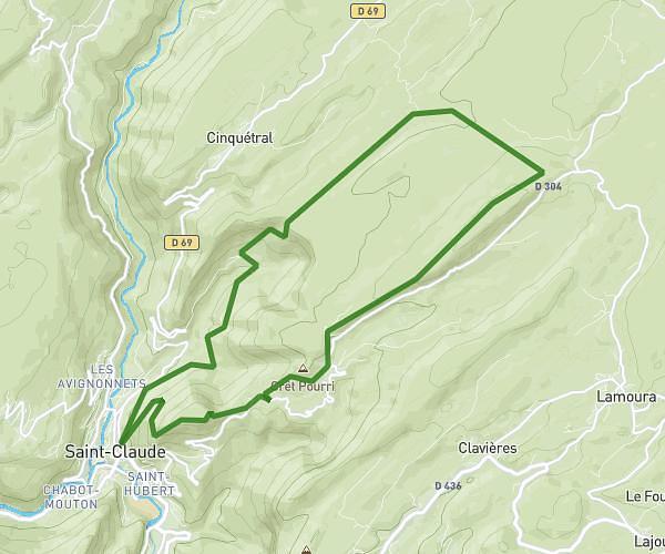
This hiking trail covers 12.759mi starting from Valserhône, Ain. The hike does not return to the trailhead and ends near 01200 Injoux-Génissiat. This hike is rated as strenuous, plan for about 5h53m to complete it. The route has an elevation gain of 3504ft and an elevation loss of 1138ft.
Jour 3
Route details
2.17mph
Speed
2685 kcal
Calories burned
6.9%
Avg grade
Point to point
Route type
1145ft
Min altitude
4429ft
Max altitude
Route profile
3504ft
Elevation gain
1138ft
Elevation loss
1145ft
Min altitude
4429ft
Max altitude
How to get there
Trailhead: Chemin Des Peupliers, 01200 Valserhône
GPS coordinates of the trailhead: 46.12323, 5.84684 / 46°7'23'' N, 5°50'48'' E