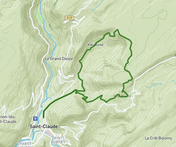
This hiking trail covers 6.485mi starting from Lélex, Ain. The hike does not return to the trailhead and ends near Chemin De La Charnat, 01410 Chézery-Forens. This hike is rated as strenuous, plan for about 3h47m to complete it. The route has an elevation gain of 2779ft and an elevation loss of 1332ft.
Premier jour
Route details
1.71mph
Speed
1804 kcal
Calories burned
12.0%
Avg grade
Point to point
Route type
2933ft
Min altitude
5600ft
Max altitude
Steep climb
Route profile
2779ft
Elevation gain
1332ft
Elevation loss
2933ft
Min altitude
5600ft
Max altitude
How to get there
Trailhead: Rue Des Monts Jura, 01410 Lélex
GPS coordinates of the trailhead: 46.30312, 5.94189 / 46°18'11'' N, 5°56'30'' E