This hiking trail covers 0.277mi starting from Saint-Amour, Jura. The hike does not return to the trailhead and ends near 6 Rue Bellevue, 39160 Saint-Amour, France. This hike is rated as easy, plan for about 8m55s to complete it. The route has an elevation gain of 167ft and an elevation loss of 39ft.
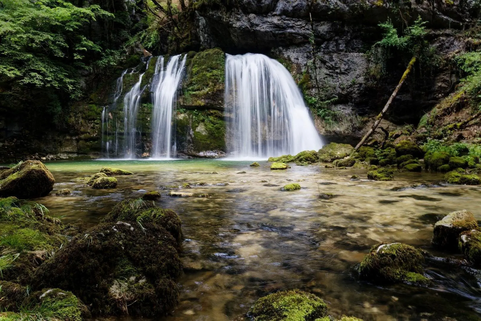
Cascade d'Allonal
Route details
1.86mph
Speed
74 kcal
Calories burned
14.1%
Avg grade
Point to point
Route type
1014ft
Min altitude
1142ft
Max altitude
Steep climb
Route profile
167ft
Elevation gain
39ft
Elevation loss
1014ft
Min altitude
1142ft
Max altitude
How to get there
Trailhead: 19 Rue Du Plateau, 39160 Saint-Amour, France
GPS coordinates of the trailhead: 46.43287, 5.35893 / 46°25'58'' N, 5°21'32'' E