This hiking trail covers 1.599mi starting from Corcelles, Bern. The hike is a loop trail and returns to the trailhead. This hike is rated as hard, plan for about 51m27s to complete it. The route has an elevation gain of 820ft and an elevation loss of 814ft.
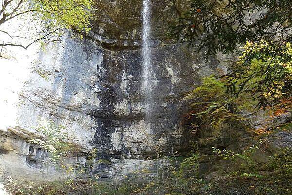
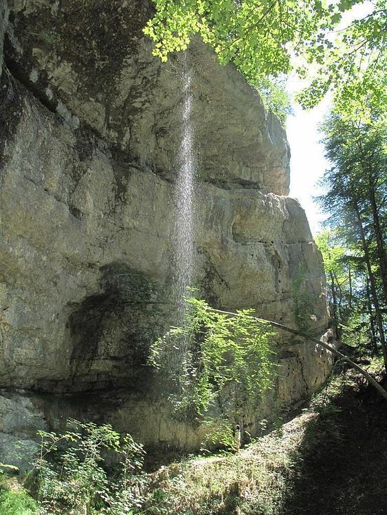
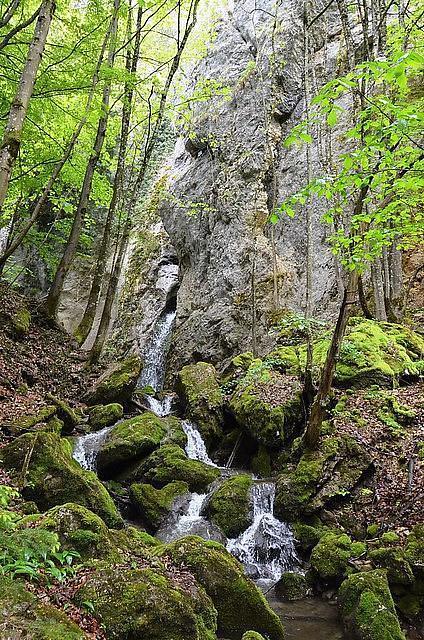
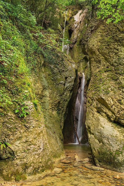
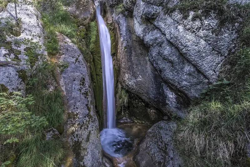
Cascade de Gore Virat
Route details
1.86mph
Speed
418 kcal
Calories burned
19.4%
Avg grade
Loop trail
Route type
2438ft
Min altitude
3074ft
Max altitude
Steep climb
Route profile
820ft
Elevation gain
814ft
Elevation loss
2438ft
Min altitude
3074ft
Max altitude
How to get there
Trailhead: Le Chargeout, 2747 Corcelles
GPS coordinates of the trailhead: 47.2916, 7.46109 / 47°17'29'' N, 7°27'39'' E