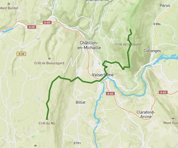
This hiking trail covers 0.475mi starting from Haut Valromey, Ain. The hike does not return to the trailhead and ends near Chemin Des Grottes Du Pic, 01260 Haut Valromey. This hike is rated as easy, plan for about 15m18s to complete it. The route has an elevation gain of 30ft and an elevation loss of 135ft.
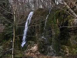
Cascade de la fontaine d'argent
Route details
1.86mph
Speed
109 kcal
Calories burned
6.5%
Avg grade
Point to point
Route type
2241ft
Min altitude
2356ft
Max altitude
Route profile
30ft
Elevation gain
135ft
Elevation loss
2241ft
Min altitude
2356ft
Max altitude
How to get there
Trailhead: Chemin Pierre Gerbais, 01260 Haut Valromey
GPS coordinates of the trailhead: 45.9718, 5.69471 / 45°58'18'' N, 5°41'40'' E