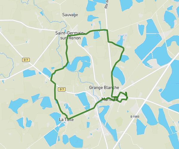
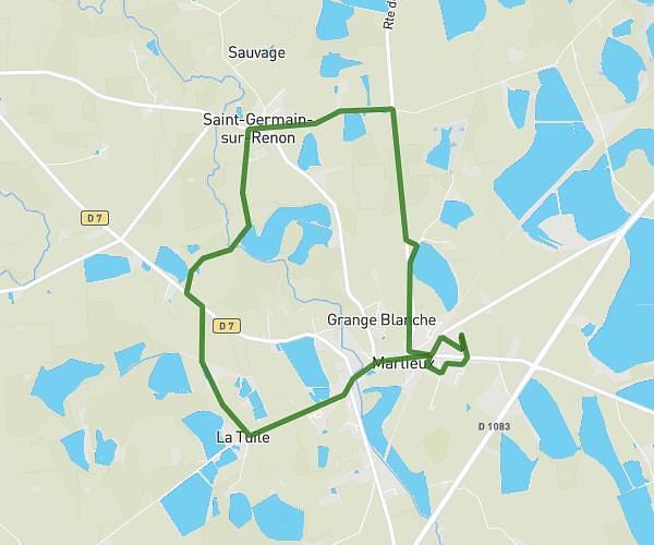
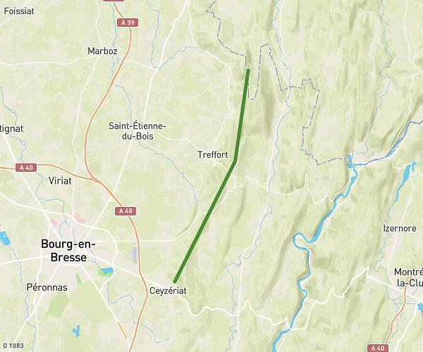
This hiking trail covers 1.786mi starting from Boyeux-Saint-Jérôme, Ain. The hike does not return to the trailhead and ends near Route De Corlier, 01640 Boyeux-Saint-Jérôme, France. This hike is rated as moderate, plan for about 57m28s to complete it. The route has an elevation gain of 801ft and an elevation loss of 203ft.
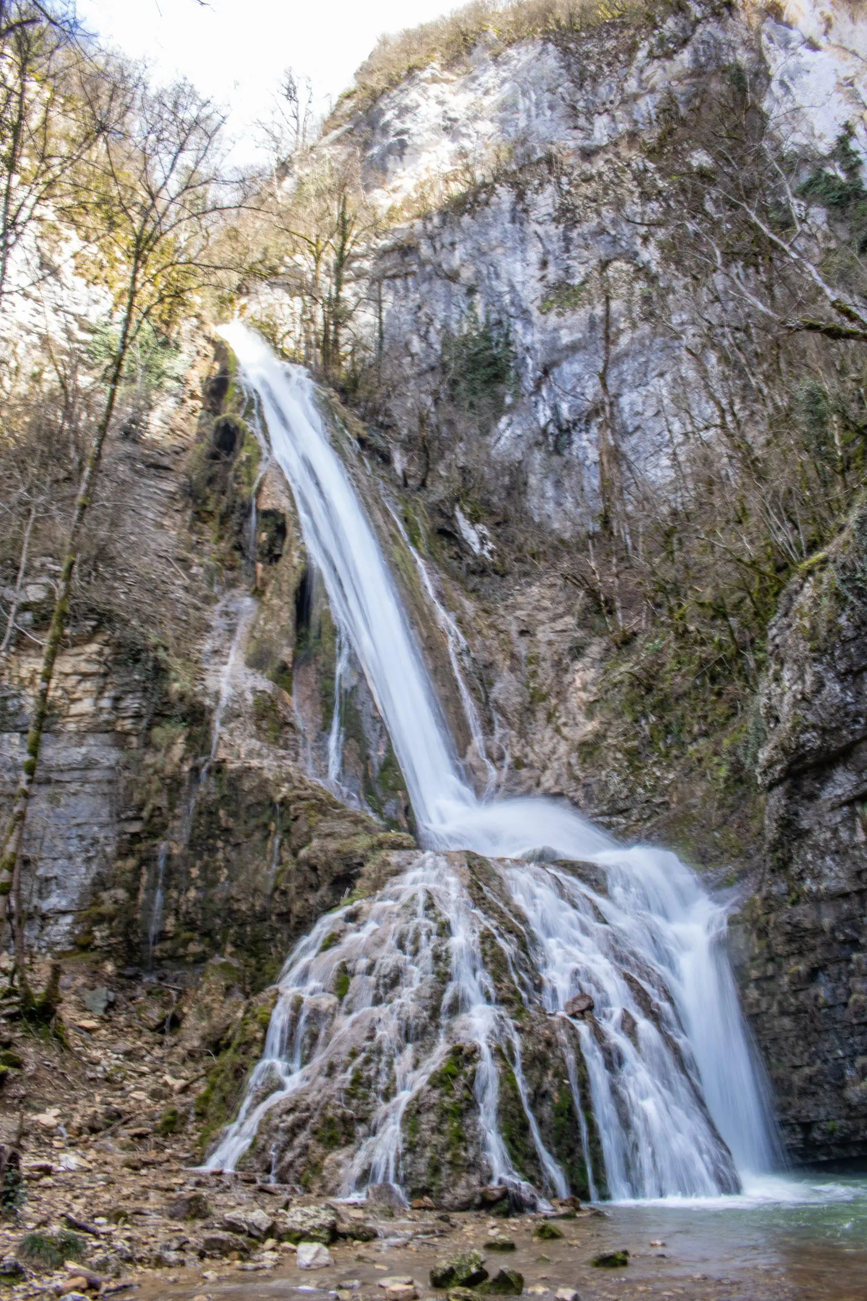
Cascade de la Fouge
Route details
1.86mph
Speed
459 kcal
Calories burned
10.6%
Avg grade
Point to point
Route type
1135ft
Min altitude
1736ft
Max altitude
Steep climb
Route profile
801ft
Elevation gain
203ft
Elevation loss
1135ft
Min altitude
1736ft
Max altitude
How to get there
Trailhead: D 11, 01640 Boyeux-Saint-Jérôme, France
GPS coordinates of the trailhead: 46.0614, 5.45921 / 46°3'41'' N, 5°27'33'' E