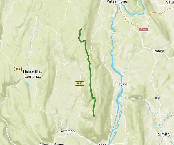
This hiking trail covers 0.546mi starting from Matafelon-Granges, Ain. The hike does not return to the trailhead and ends near Place Des Deux-Fours, 01580 Matafelon-Granges. This hike is rated as easy, plan for about 17m33s to complete it. The route has an elevation gain of 472ft and an elevation loss of 39ft.
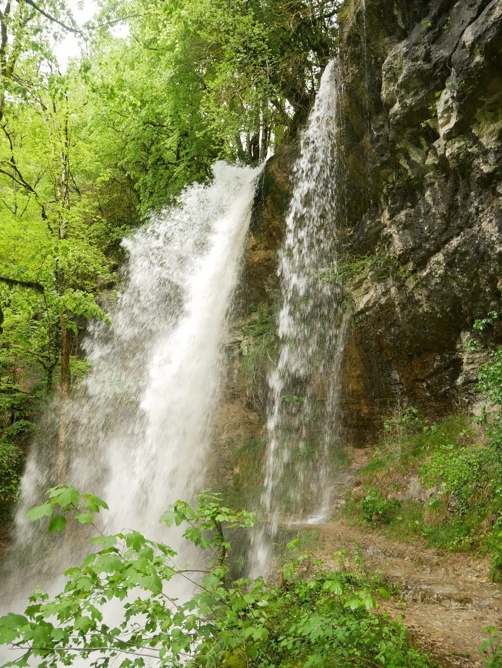
Cascade de pisse-vache
Route details
1.86mph
Speed
156 kcal
Calories burned
17.8%
Avg grade
Point to point
Route type
1010ft
Min altitude
1444ft
Max altitude
Steep climb
Route profile
472ft
Elevation gain
39ft
Elevation loss
1010ft
Min altitude
1444ft
Max altitude
How to get there
Trailhead: Place Des Deux-Fours, 01580 Matafelon-Granges
GPS coordinates of the trailhead: 46.22204, 5.48289 / 46°13'19'' N, 5°28'58'' E