This hiking trail covers 1.526mi starting from Nanchez, Jura. The hike does not return to the trailhead and ends near Pont De Longchaumois, 39200 Nanchez. This hike is rated as moderate, plan for about 49m7s to complete it. The route has an elevation gain of 118ft and an elevation loss of 827ft.
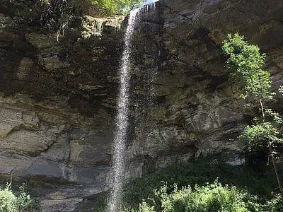
Cascade de Villard
Route details
1.86mph
Speed
352 kcal
Calories burned
11.7%
Avg grade
Point to point
Route type
1660ft
Min altitude
2369ft
Max altitude
Steep climb
Route profile
118ft
Elevation gain
827ft
Elevation loss
1660ft
Min altitude
2369ft
Max altitude
How to get there
Trailhead: Chemin Simon, 39150 Nanchez
GPS coordinates of the trailhead: 46.47493, 5.89768 / 46°28'29'' N, 5°53'51'' E


