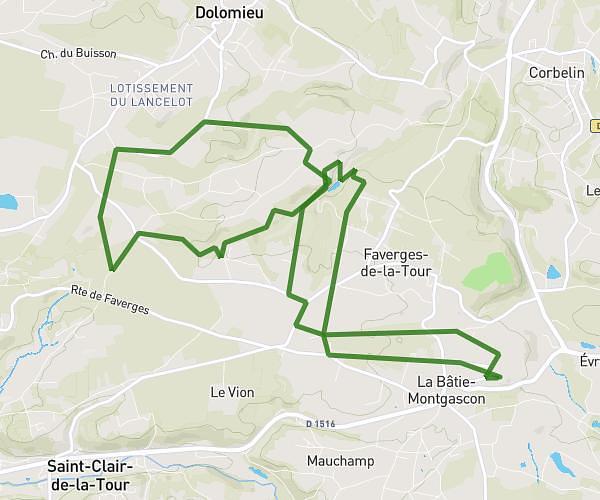
This hiking trail covers 0.139mi starting from Cheignieu-la-Balme, Ain. The hike is a loop trail and returns to the trailhead. This hike is rated as easy, plan for about 4m27s to complete it. The route has an elevation gain of 36ft and an elevation loss of 82ft.
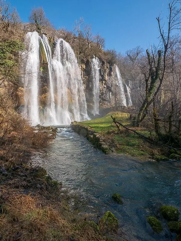
cascade des dards
Route details
1.86mph
Speed
34 kcal
Calories burned
16.1%
Avg grade
Loop trail
Route type
932ft
Min altitude
1014ft
Max altitude
Steep climb
Route profile
36ft
Elevation gain
82ft
Elevation loss
932ft
Min altitude
1014ft
Max altitude
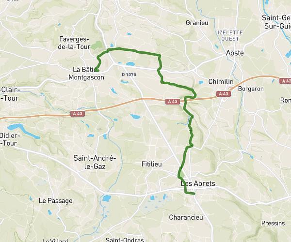
How to get there
Trailhead: D 1504, 01510 Cheignieu-la-Balme, France
GPS coordinates of the trailhead: 45.82044, 5.62312 / 45°49'13'' N, 5°37'23'' E