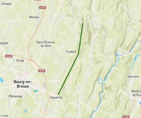
This hiking trail covers 1.644mi starting from Izenave, Ain. The hike does not return to the trailhead and ends near D 8, 01430 Izenave, France. This hike is rated as easy, plan for about 52m55s to complete it. The route has an elevation gain of 384ft and an elevation loss of 89ft.
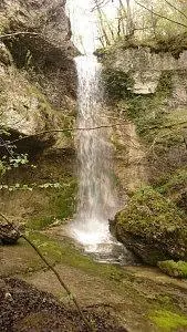
Cascade des Tines (Aranc)
Route details
1.86mph
Speed
398 kcal
Calories burned
5.4%
Avg grade
Point to point
Route type
2260ft
Min altitude
2566ft
Max altitude
Route profile
384ft
Elevation gain
89ft
Elevation loss
2260ft
Min altitude
2566ft
Max altitude
How to get there
Trailhead: 461 Grande Rue, 01430 Izenave, France
GPS coordinates of the trailhead: 46.03853, 5.52596 / 46°2'18'' N, 5°31'33'' E