This hiking trail covers 1.708mi starting from Villard-Saint-Sauveur, Jura. The hike does not return to the trailhead and ends near D 436, 39310 Septmoncel les Molunes, France. This hike is rated as easy, plan for about 54m58s to complete it. The route has an elevation gain of 538ft and an elevation loss of 200ft.
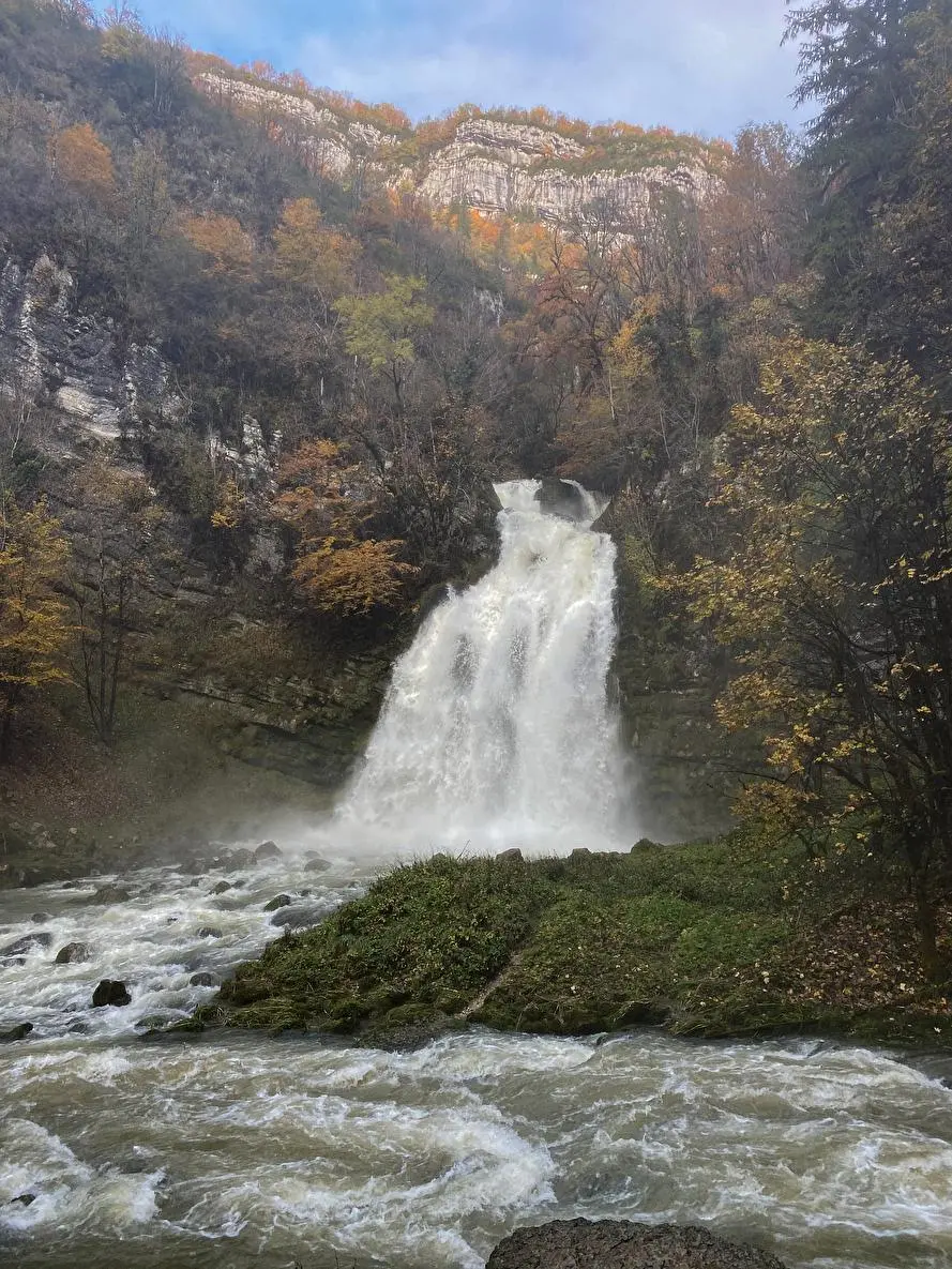
Cascade du Flumen
Route details
1.86mph
Speed
423 kcal
Calories burned
8.2%
Avg grade
Point to point
Route type
1401ft
Min altitude
1755ft
Max altitude
Steep climb
Route profile
538ft
Elevation gain
200ft
Elevation loss
1401ft
Min altitude
1755ft
Max altitude
How to get there
Trailhead: 23 Route Du Martinet, 39200 Villard-Saint-Sauveur, France
GPS coordinates of the trailhead: 46.37173, 5.87256 / 46°22'18'' N, 5°52'21'' E


