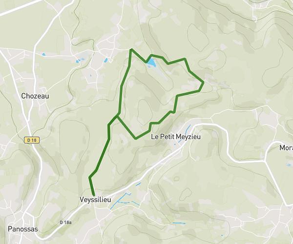
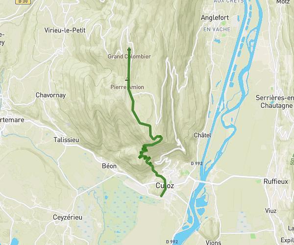
This hiking trail covers 1.785mi starting from Villebois, Ain. The hike is a loop trail and returns to the trailhead. This hike is rated as moderate, plan for about 57m26s to complete it. The route has an elevation gain of 702ft and an elevation loss of 702ft.
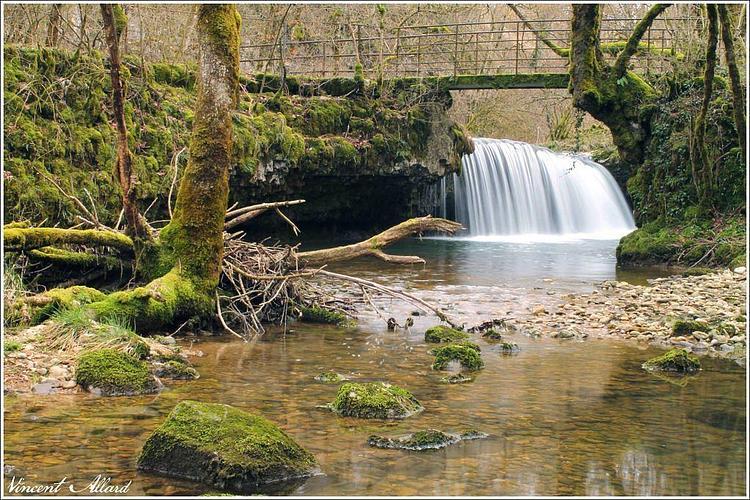
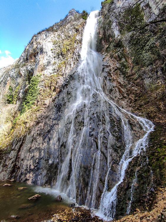
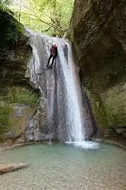
Cascade du Rheby
Route details
1.86mph
Speed
452 kcal
Calories burned
14.9%
Avg grade
Loop trail
Route type
922ft
Min altitude
1378ft
Max altitude
Steep climb
Route profile
702ft
Elevation gain
702ft
Elevation loss
922ft
Min altitude
1378ft
Max altitude
How to get there
Trailhead: 954 Rue Des Deux Fontaines, 01150 Villebois, France
GPS coordinates of the trailhead: 45.85618, 5.43268 / 45°51'22'' N, 5°25'57'' E