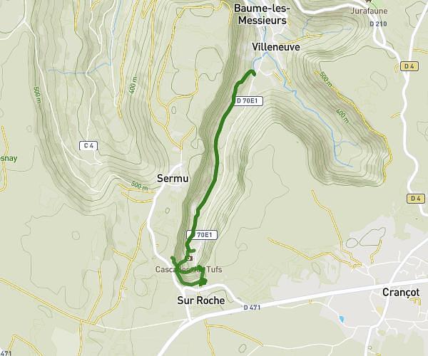
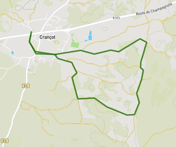
This hiking trail covers 1.834mi starting from La Chailleuse, Jura. The hike is a loop trail and returns to the trailhead. This hike is rated as moderate, plan for about 59m1s to complete it. The route has an elevation gain of 453ft and an elevation loss of 456ft.
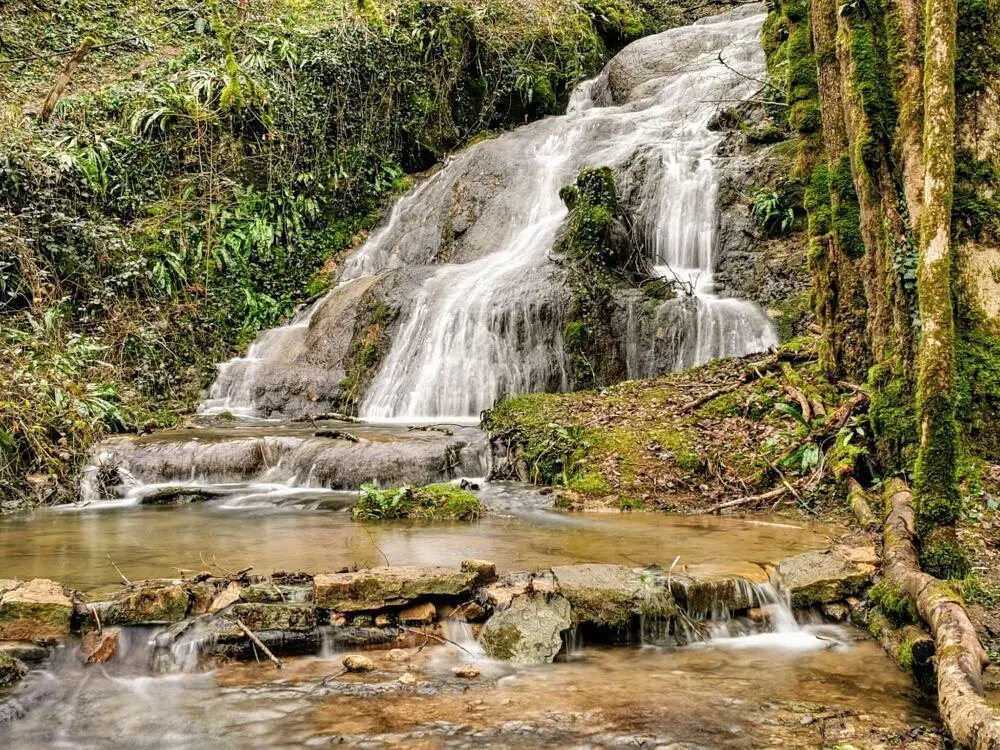
Cascade du Sacrifice
Route details
1.86mph
Speed
445 kcal
Calories burned
9.4%
Avg grade
Loop trail
Route type
1181ft
Min altitude
1552ft
Max altitude
Steep climb
Route profile
453ft
Elevation gain
456ft
Elevation loss
1181ft
Min altitude
1552ft
Max altitude
How to get there
Trailhead: 1 Rue De L'école, 39270 La Chailleuse, France
GPS coordinates of the trailhead: 46.59921, 5.5133 / 46°35'57'' N, 5°30'47'' E