This hiking trail covers 2.749mi starting from Cléron, Doubs. The hike does not return to the trailhead and ends near Sur Les Oyes, 25330 Cléron, France. This hike is rated as easy, plan for about 1h28m to complete it. The route has an elevation gain of 636ft and an elevation loss of 200ft.
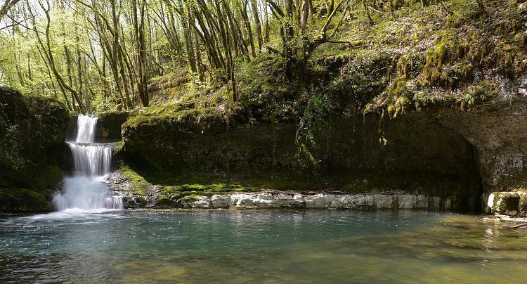
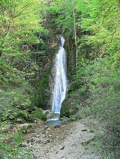
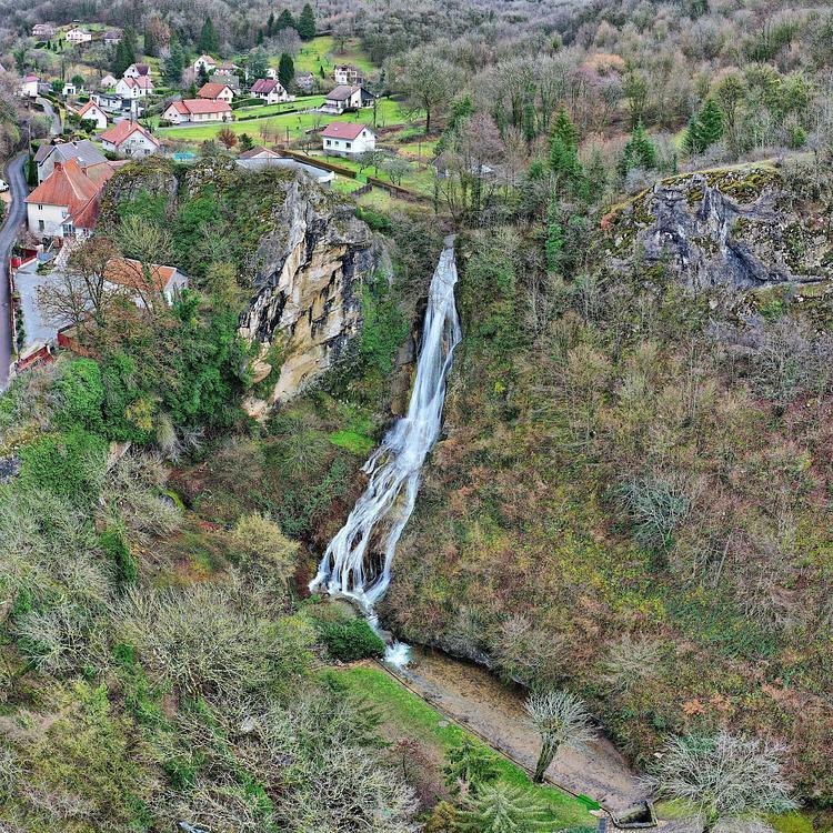
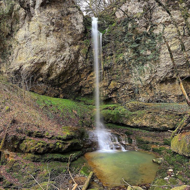
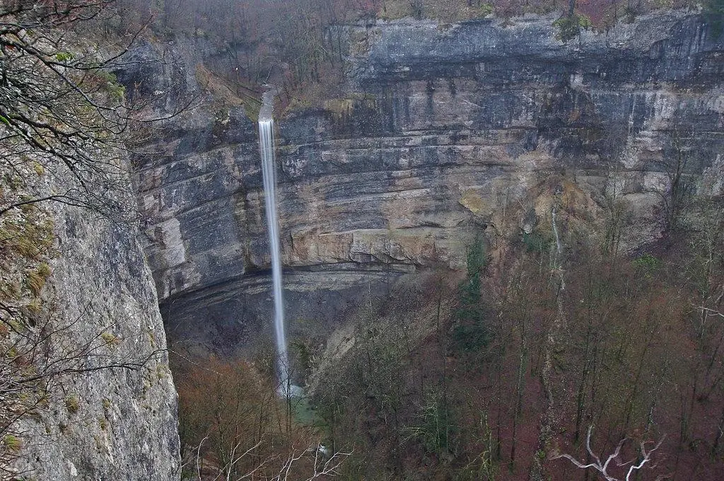
Cascade du Valbois
Route details
1.86mph
Speed
665 kcal
Calories burned
5.8%
Avg grade
Point to point
Route type
1161ft
Min altitude
1598ft
Max altitude
Route profile
636ft
Elevation gain
200ft
Elevation loss
1161ft
Min altitude
1598ft
Max altitude
How to get there
Trailhead: 12 Rue Du Pater, 25330 Cléron, France
GPS coordinates of the trailhead: 47.09332, 6.07424 / 47°5'35'' N, 6°4'27'' E