This hiking trail covers 1.385mi starting from Chassagne-Saint-Denis, Doubs. The hike does not return to the trailhead and ends near Chemin De Flagey À Chassagne, 25290 Ornans. This hike is rated as easy, plan for about 44m34s to complete it. The route has an elevation gain of 102ft and an elevation loss of 554ft.
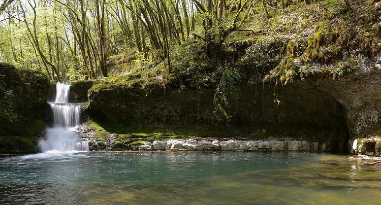
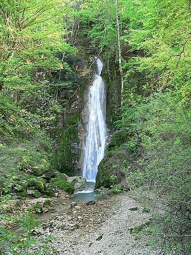
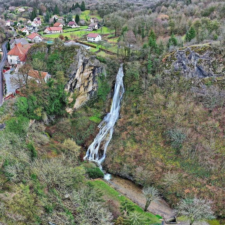
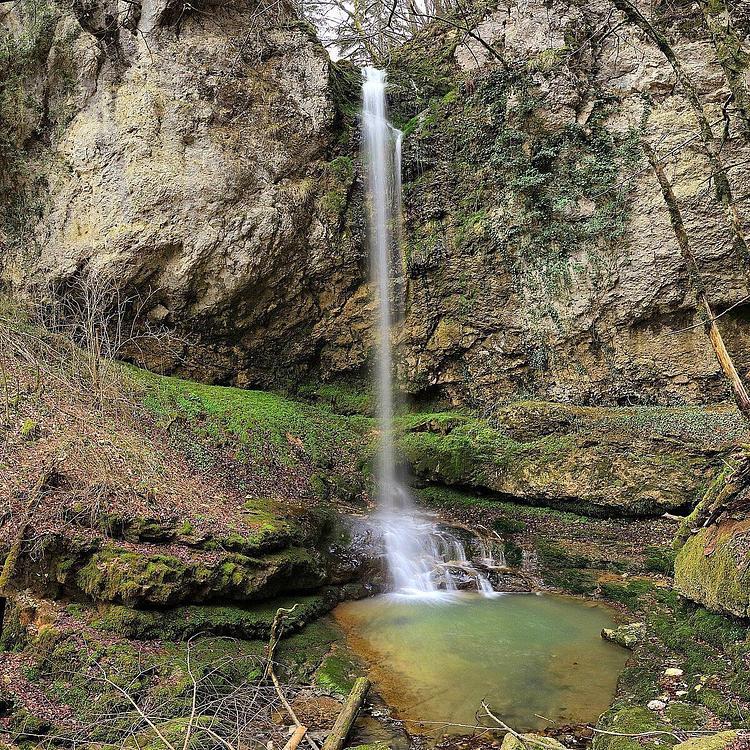
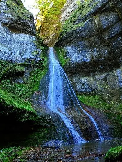
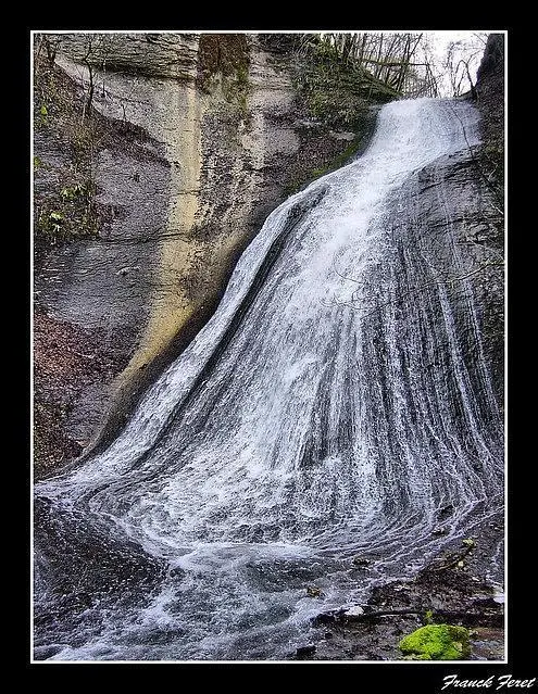
Cascades de Bonneille
Route details
1.86mph
Speed
319 kcal
Calories burned
9.0%
Avg grade
Point to point
Route type
1427ft
Min altitude
1903ft
Max altitude
Steep climb
Route profile
102ft
Elevation gain
554ft
Elevation loss
1427ft
Min altitude
1903ft
Max altitude
How to get there
Trailhead: C 3, 25290 Chassagne-Saint-Denis
GPS coordinates of the trailhead: 47.0629, 6.11846 / 47°3'46'' N, 6°7'6'' E