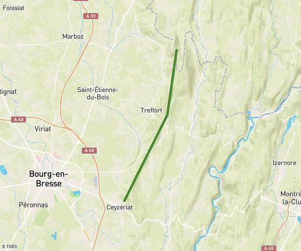
This hiking trail covers 2.043mi starting from Dortan, Ain. The hike does not return to the trailhead and ends near Rue Du Colonel Romans-Petit, 01590 Dortan. This hike is rated as easy, plan for about 1h5m to complete it. The route has an elevation gain of 466ft and an elevation loss of 266ft.
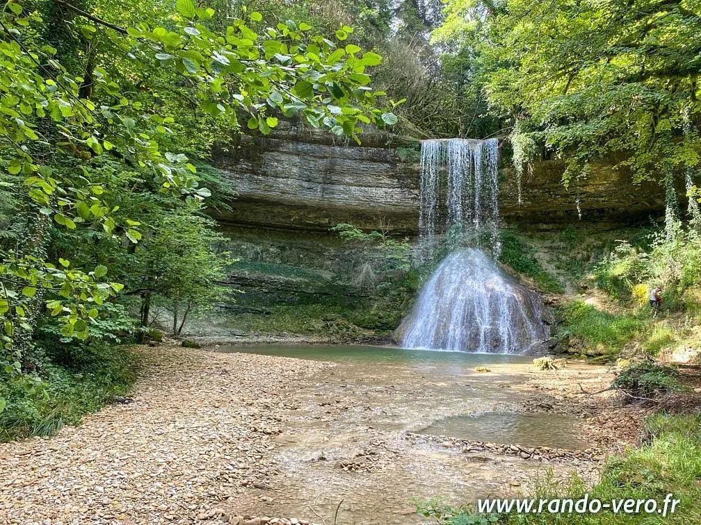
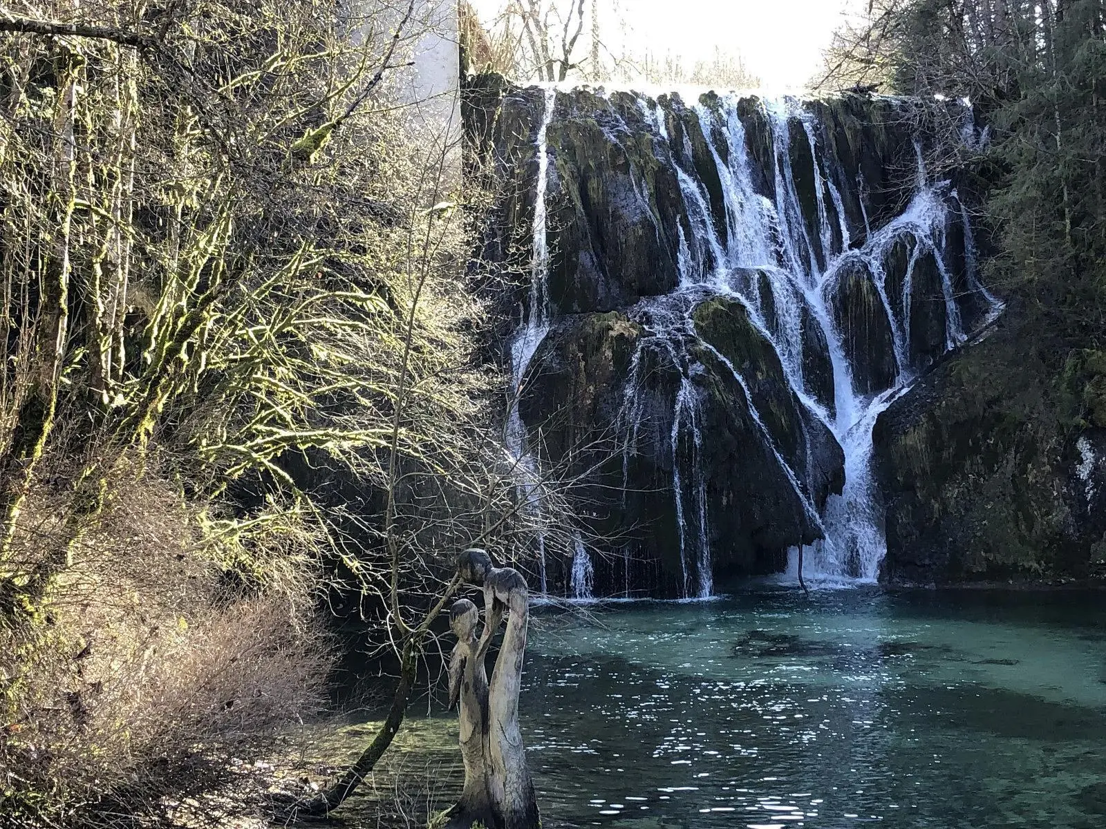
Cascades de Dortan
Route details
1.86mph
Speed
493 kcal
Calories burned
6.8%
Avg grade
Point to point
Route type
1079ft
Min altitude
1414ft
Max altitude
Route profile
466ft
Elevation gain
266ft
Elevation loss
1079ft
Min altitude
1414ft
Max altitude
How to get there
Trailhead: Place De L'hôtel-De-Ville, 01590 Dortan
GPS coordinates of the trailhead: 46.3187, 5.65996 / 46°19'7'' N, 5°39'35'' E