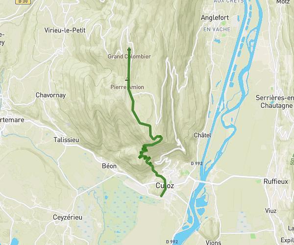
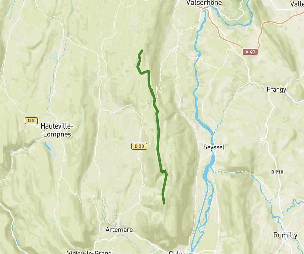
This hiking trail covers 1.266mi starting from Virieu-le-Grand, Ain. The hike does not return to the trailhead and ends near D 53, 01510 Virieu-le-Grand. This hike is rated as moderate, plan for about 40m44s to complete it. The route has an elevation gain of 1148ft and an elevation loss of 52ft.
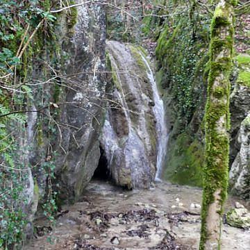
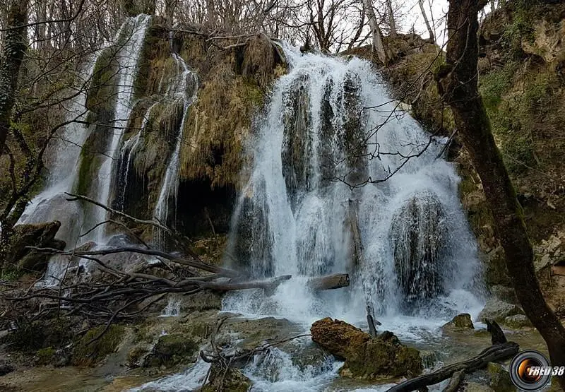
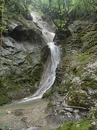
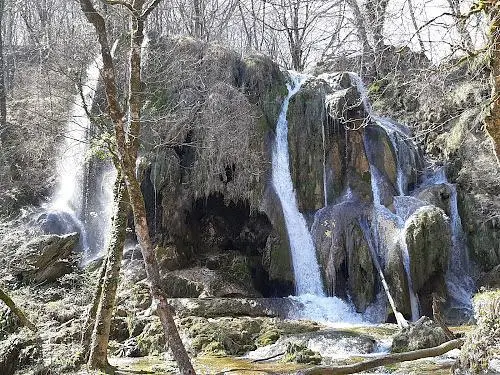
Cascades de l'Arène
Route details
1.86mph
Speed
367 kcal
Calories burned
18.0%
Avg grade
Point to point
Route type
1132ft
Min altitude
2231ft
Max altitude
Steep climb
Route profile
1148ft
Elevation gain
52ft
Elevation loss
1132ft
Min altitude
2231ft
Max altitude
How to get there
Trailhead: Chemin De Claire Fontaine, 01510 Virieu-le-Grand
GPS coordinates of the trailhead: 45.85121, 5.641 / 45°51'4'' N, 5°38'27'' E