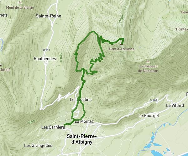
This hiking trail covers 2.394mi starting from Le Bourget-du-Lac, Savoie. The hike does not return to the trailhead and ends near Route De Grimaillon, 73370 Le Bourget-du-Lac. This hike is rated as moderate, plan for about 1h17m to complete it. The route has an elevation gain of 840ft and an elevation loss of 669ft.
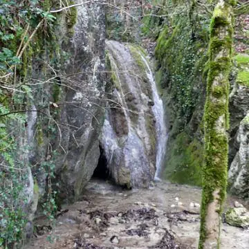
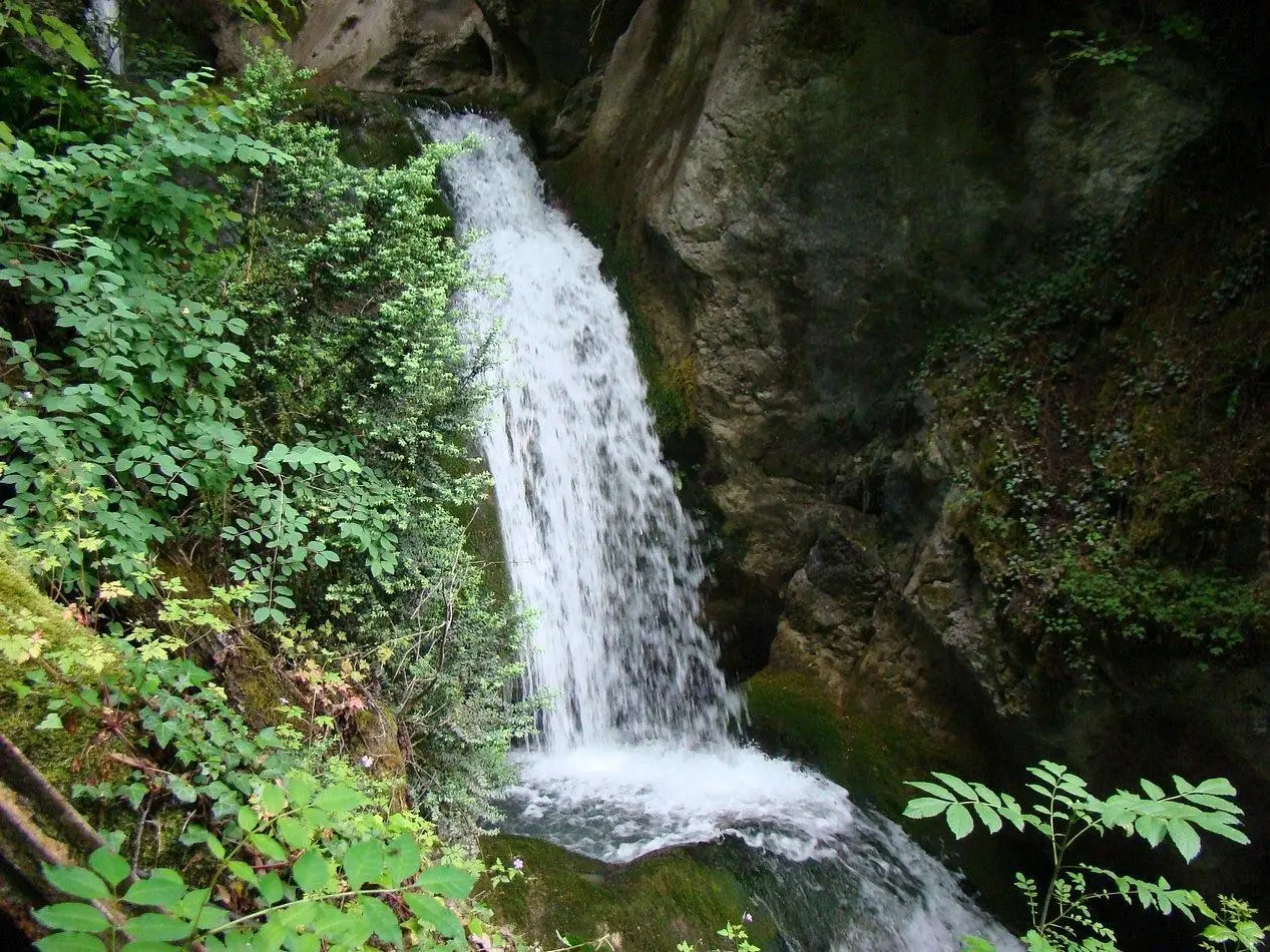
Cascades du Bourget
Route details
1.86mph
Speed
599 kcal
Calories burned
11.9%
Avg grade
Point to point
Route type
1122ft
Min altitude
1539ft
Max altitude
Steep climb
Route profile
840ft
Elevation gain
669ft
Elevation loss
1122ft
Min altitude
1539ft
Max altitude
How to get there
Trailhead: Route De La Cascade, 73370 Le Bourget-du-Lac
GPS coordinates of the trailhead: 45.62483, 5.84774 / 45°37'29'' N, 5°50'51'' E