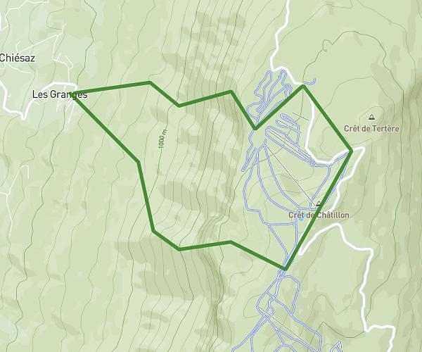
This hiking trail covers 11.323mi starting from Saint-Pierre-d'Albigny, Savoie. The hike is a loop trail and returns to the trailhead. This hike is rated as hard, plan for about 3h10m to complete it. The route has an elevation gain of 6634ft and an elevation loss of 6634ft.
Description of the route by the creator
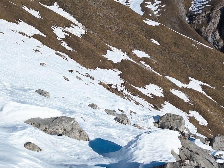
An afternoon outing to take in the view, with a fast ascent (2 hours) and a descent combining fast walking and trail running (a good hour). Great weather, sunny and warm Mind you, there wasn't necessarily a connection on the whole route, including some exposed areas, so I'd say around 5 hours for a more leisurely person.