This hiking trail covers 2.435mi starting from Villard-Saint-Sauveur, Jura. The hike is a loop trail and returns to the trailhead. This hike is rated as moderate, plan for about 1h18m to complete it. The route has an elevation gain of 902ft and an elevation loss of 902ft.
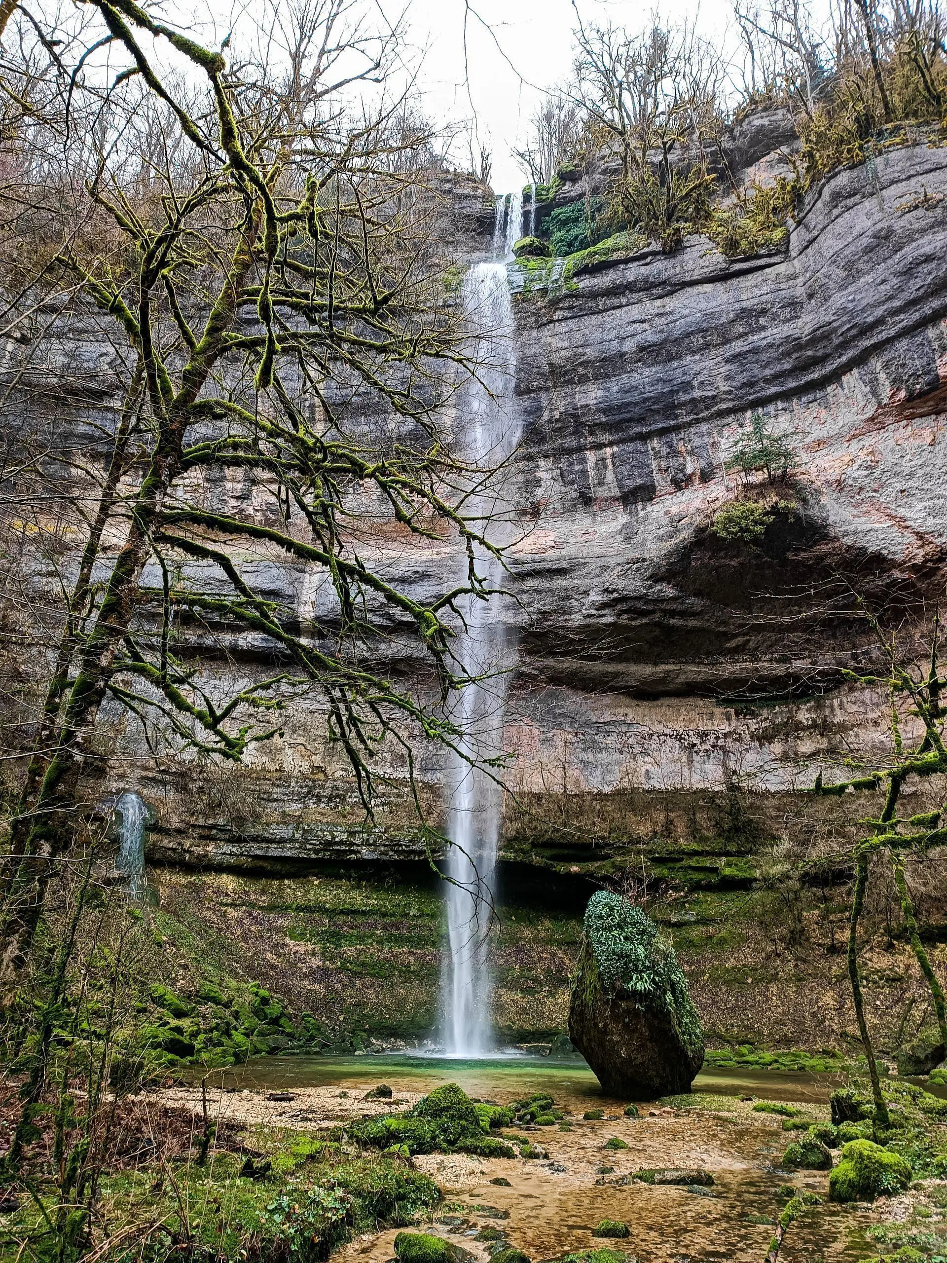
Cascades du bief des Parres
Route details
1.86mph
Speed
613 kcal
Calories burned
14.0%
Avg grade
Loop trail
Route type
1401ft
Min altitude
2011ft
Max altitude
Steep climb
Route profile
902ft
Elevation gain
902ft
Elevation loss
1401ft
Min altitude
2011ft
Max altitude
How to get there
Trailhead: 23 Route Du Martinet, 39200 Villard-Saint-Sauveur, France
GPS coordinates of the trailhead: 46.37182, 5.87257 / 46°22'18'' N, 5°52'21'' E


