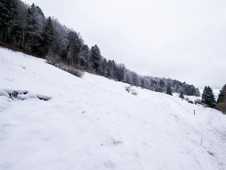
This hiking trail covers 2.775mi starting from Surjoux-Lhopital, Ain. The hike is a loop trail and returns to the trailhead. This hike is rated as moderate, plan for about 1h29m to complete it. The route has an elevation gain of 502ft and an elevation loss of 499ft.
Cascades rive gauche du Rhône
Route details
1.86mph
Speed
661 kcal
Calories burned
6.8%
Avg grade
Loop trail
Route type
922ft
Min altitude
1260ft
Max altitude
Route profile
502ft
Elevation gain
499ft
Elevation loss
922ft
Min altitude
1260ft
Max altitude
How to get there
Trailhead: Route Du Pain De Sucre, 01420 Surjoux-Lhopital
GPS coordinates of the trailhead: 46.03078, 5.80346 / 46°1'50'' N, 5°48'12'' E