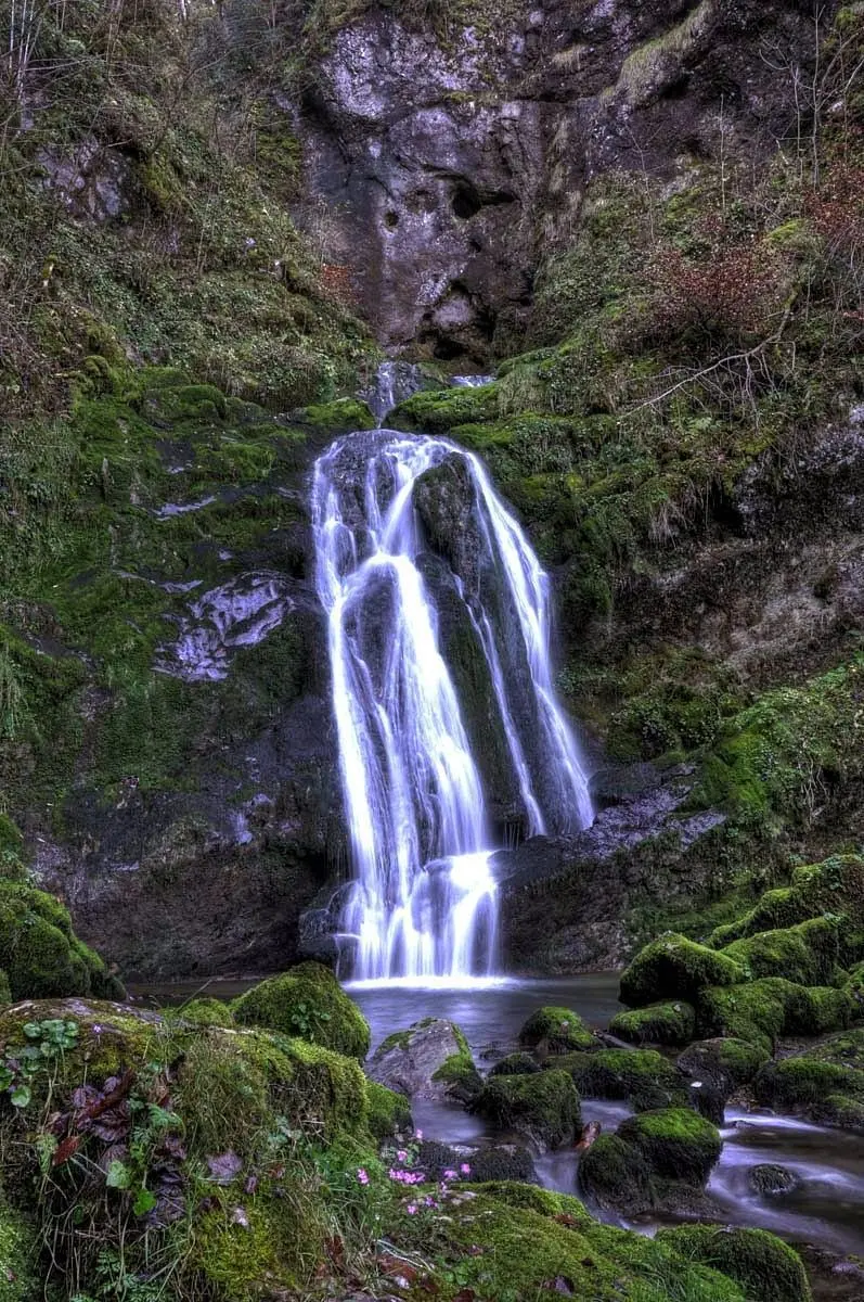
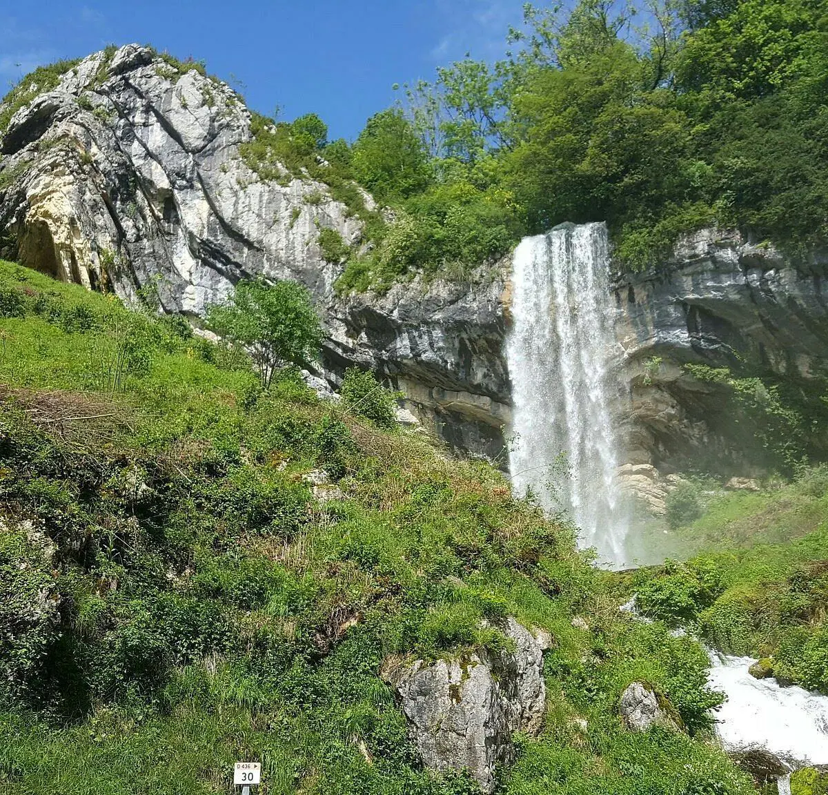
This hiking trail covers 0.684mi starting from Septmoncel les Molunes, Jura. The hike does not return to the trailhead and ends near D 436, 39310 Septmoncel les Molunes. This hike is rated as moderate, plan for about 22m1s to complete it. The route has an elevation gain of 430ft and an elevation loss of 341ft.
Chapeau de gendarme et moulin d'aval
Route details
1.86mph
Speed
185 kcal
Calories burned
21.3%
Avg grade
Point to point
Route type
2326ft
Min altitude
2657ft
Max altitude
Steep climb
Route profile
430ft
Elevation gain
341ft
Elevation loss
2326ft
Min altitude
2657ft
Max altitude
How to get there
Trailhead: D 436, 39310 Septmoncel les Molunes
GPS coordinates of the trailhead: 46.35655, 5.90624 / 46°21'23'' N, 5°54'22'' E


