This hiking trail covers 4.036mi starting from Saint-Claude, Jura. The hike does not return to the trailhead and ends near D 69, 39400 Saint-Claude, France. This hike is rated as moderate, plan for about 2h9m to complete it. The route has an elevation gain of 1565ft and an elevation loss of 413ft.
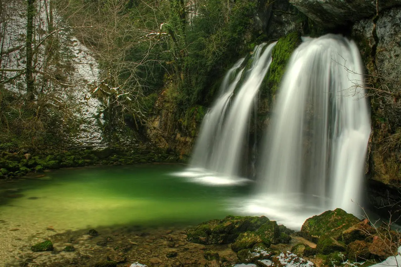
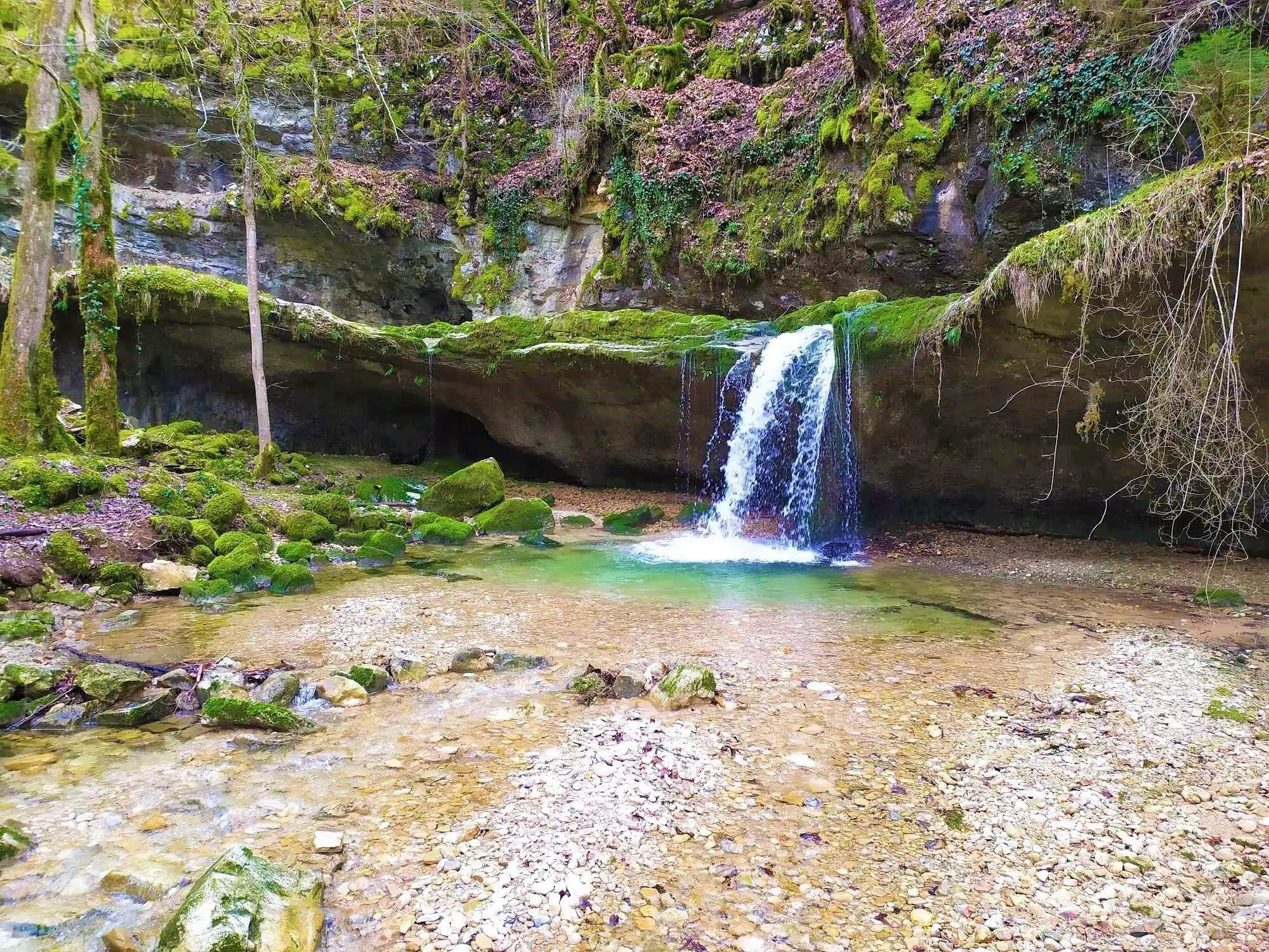
Combes et Vouivre
Route details
1.86mph
Speed
1021 kcal
Calories burned
9.3%
Avg grade
Point to point
Route type
1617ft
Min altitude
2927ft
Max altitude
Steep climb
Route profile
1565ft
Elevation gain
413ft
Elevation loss
1617ft
Min altitude
2927ft
Max altitude
How to get there
Trailhead: D 69, 39200 Saint-Claude, France
GPS coordinates of the trailhead: 46.40276, 5.87862 / 46°24'9'' N, 5°52'43'' E


