This hiking trail covers 2.72mi starting from Brénod, Ain. The hike is a loop trail and returns to the trailhead. This hike is rated as moderate, plan for about 1h27m to complete it. The route has an elevation gain of 531ft and an elevation loss of 531ft.
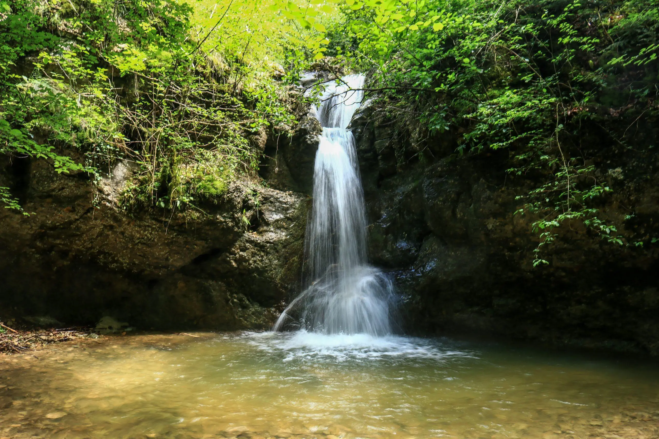
Les trois cascades de Brénod
Route details
1.86mph
Speed
651 kcal
Calories burned
7.4%
Avg grade
Loop trail
Route type
2749ft
Min altitude
3209ft
Max altitude
Route profile
531ft
Elevation gain
531ft
Elevation loss
2749ft
Min altitude
3209ft
Max altitude
How to get there
Trailhead: 25 Rue Le Pavillon, 01110 Brénod, France
GPS coordinates of the trailhead: 46.06086, 5.60681 / 46°3'39'' N, 5°36'24'' E