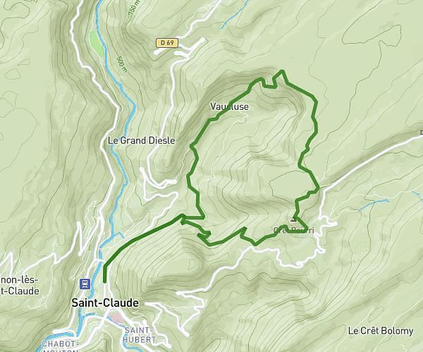
MapPlanner
4,949mi
Distance
2h39m
Duration
1,86mph
Speed
1818ft
Elevation +
1818ft
Elevation -
2379ft
Min altitude
3885ft
Max altitude
Difficult
Level

Tour des trois cascades du creux de l'envers (Gex)

Cascade de Pisson
Cascade de Pisson
Marpeyre waterfall
Marpeyre waterfall

Route details

Explore this hiking route of 4,949mi starting from Gex, Ain. The hike is a loop and returns to the starting point. This hike is rated as difficult, plan for about 2h39m to complete it. The route has a positive elevation gain of 1818ft and a negative elevation loss of 1818ft.

Description of the route by the creator

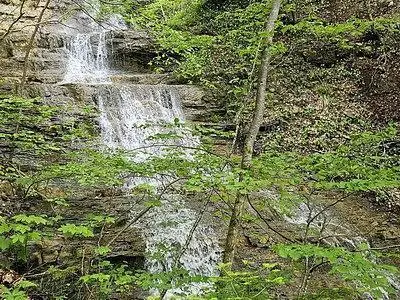
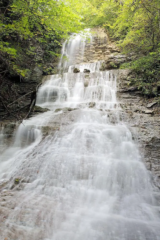
Discover the three waterfalls of Gex : - Pisson waterfall - Marpeyre waterfall - puits de l'enfer waterfall

(Description automatically translated)

Route profile

1818ft
Elevation +
1818ft
Elevation -
2379ft
Min altitude
3885ft
Max altitude

How to get there

Route starting point: Chemin De Monchanais, 01170 Gex

GPS coordinates of the starting point: 46.34385, 6.03884 / 46°20'37'' N, 6°2'19'' E