This hiking trail covers 2.965mi starting from Montréal-la-Cluse, Ain. The hike is a loop trail and returns to the trailhead. This hike is rated as moderate, plan for about 1h35m to complete it. The route has an elevation gain of 719ft and an elevation loss of 719ft.
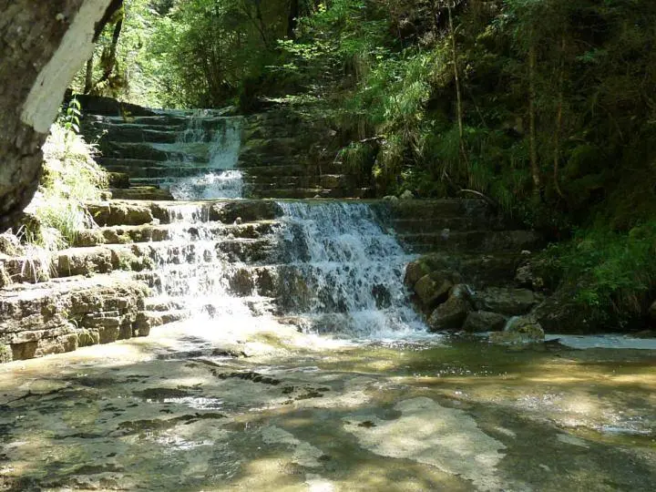
Voiles du Landeyron
Route details
1.86mph
Speed
719 kcal
Calories burned
9.2%
Avg grade
Loop trail
Route type
1601ft
Min altitude
2251ft
Max altitude
Steep climb
Route profile
719ft
Elevation gain
719ft
Elevation loss
1601ft
Min altitude
2251ft
Max altitude
How to get there
Trailhead: 12 Rue De Sénoche, 01460 Montréal-la-Cluse, France
GPS coordinates of the trailhead: 46.17989, 5.58166 / 46°10'47'' N, 5°34'53'' E