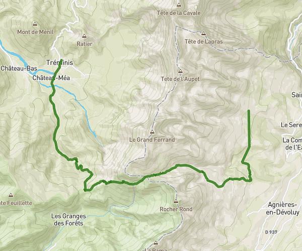
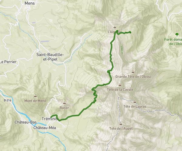
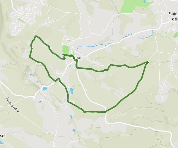
This hiking trail covers 8.841mi starting from Saint-Andéol, Isère. The hike is a loop trail and returns to the trailhead. This hike is rated as strenuous, plan for about 6h59m to complete it. The route has an elevation gain of 3711ft and an elevation loss of 3717ft.
Saint Andéol 1
Route details
1.27mph
Speed
3322 kcal
Calories burned
15.9%
Avg grade
Loop trail
Route type
3409ft
Min altitude
6490ft
Max altitude
Steep climb
Route profile
3711ft
Elevation gain
3717ft
Elevation loss
3409ft
Min altitude
6490ft
Max altitude
How to get there
Trailhead: 271 Chemin De Pré Clos, 38650 Saint-Andéol, France
GPS coordinates of the trailhead: 44.96099, 5.55018 / 44°57'39'' N, 5°33'0'' E