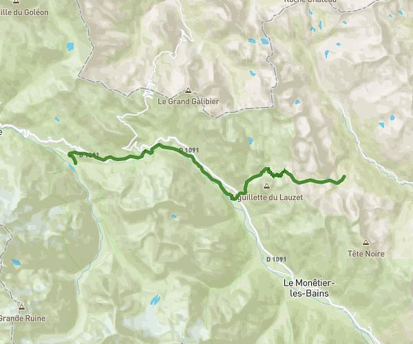
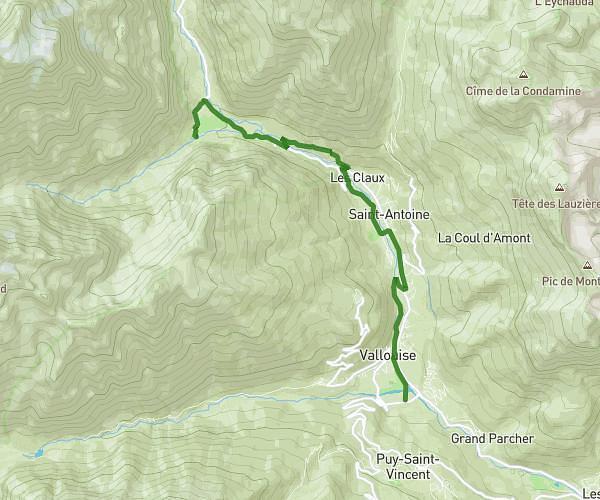
This hiking trail covers 7.814mi starting from Villar-d'Arêne, Hautes-Alpes. The hike does not return to the trailhead and ends near 05480, Villar-d'Arêne, Hautes-Alpes, France. This hike is rated as strenuous, plan for about 4h to complete it. The route has an elevation gain of 3386ft and an elevation loss of 879ft.
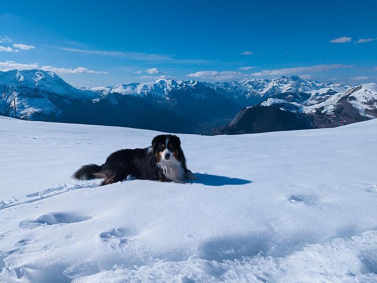
Lundi Part 2 - Lac du Pavé
Route details
1.95mph
Speed
1910 kcal
Calories burned
10.3%
Avg grade
Point to point
Route type
6512ft
Min altitude
9232ft
Max altitude
High altitude
Steep climb
Route profile
3386ft
Elevation gain
879ft
Elevation loss
6512ft
Min altitude
9232ft
Max altitude
How to get there
Trailhead: 1 Rd 1091 Le Lautaret, 05480 Villar-d'Arêne, France
GPS coordinates of the trailhead: 45.03353, 6.40566 / 45°2'0'' N, 6°24'20'' E