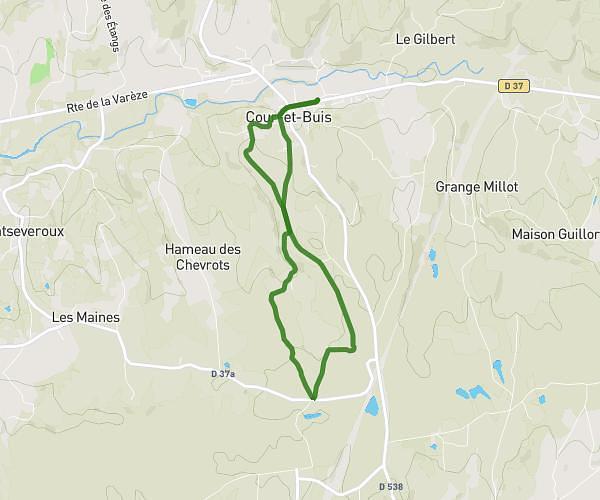
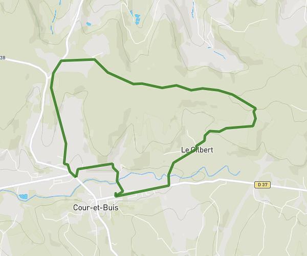
This running route covers 3.139mi starting from Valencin, Isère. The run is a loop trail and returns to the trailhead. This run is rated as easy, expect about 30m to complete it. The route has an elevation gain of 249ft and an elevation loss of 249ft.
Tour habituel
Route details
6.28mph
Speed
343 kcal
Calories burned
Loop trail
Route type
1070ft
Min altitude
1178ft
Max altitude
Route profile
249ft
Elevation gain
249ft
Elevation loss
1070ft
Min altitude
1178ft
Max altitude
How to get there
Trailhead: 60 Chemin De Molière, 38540 Valencin, France
GPS coordinates of the trailhead: 45.6087, 5.03532 / 45°36'31'' N, 5°2'7'' E