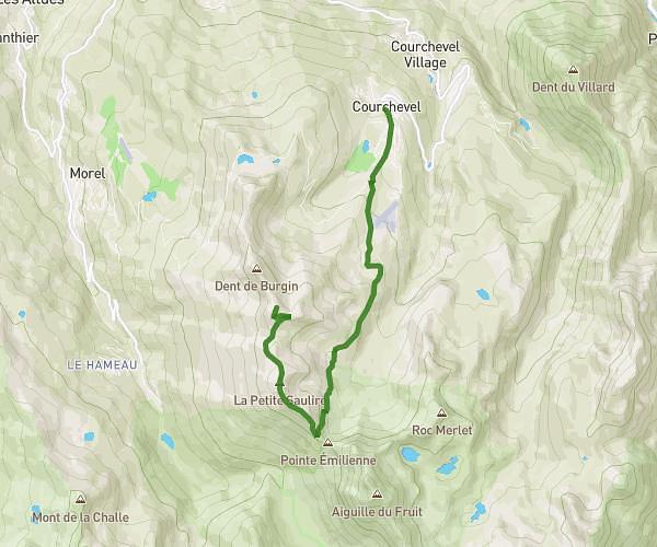
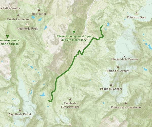
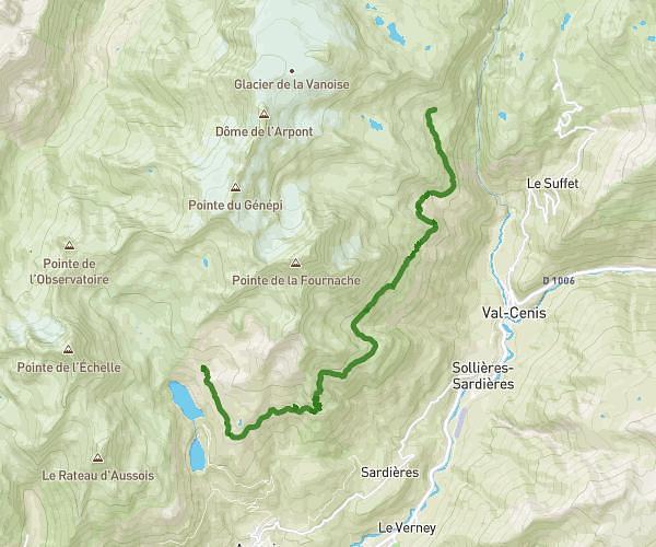
This hiking trail covers 6.514mi starting from Bozel, Savoie. The hike is a loop trail and returns to the trailhead. This hike is rated as strenuous, plan for about 2h20m to complete it. The route has an elevation gain of 2201ft and an elevation loss of 2175ft.
Tour mirabozon
Route details
4.35mph
Speed
1085 kcal
Calories burned
12.7%
Avg grade
Loop trail
Route type
3868ft
Min altitude
5433ft
Max altitude
Steep climb
Route profile
2201ft
Elevation gain
2175ft
Elevation loss
3868ft
Min altitude
5433ft
Max altitude
How to get there
Trailhead: 88 Rue Des Luges, 73350 Bozel, France
GPS coordinates of the trailhead: 45.45396, 6.64485 / 45°27'14'' N, 6°38'41'' E