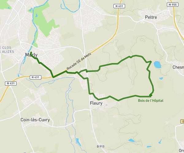
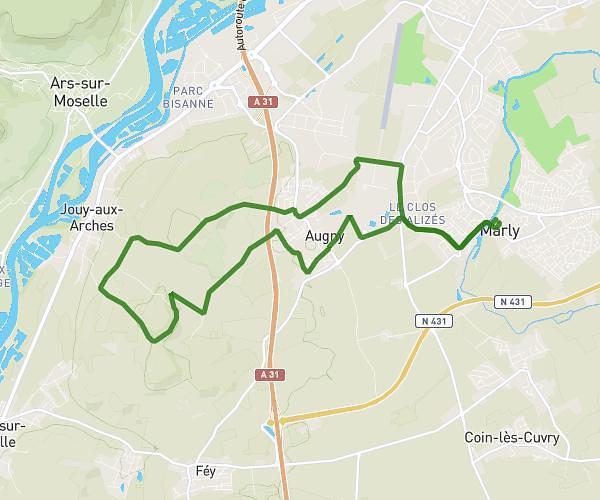
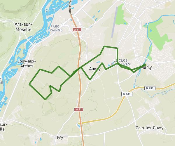
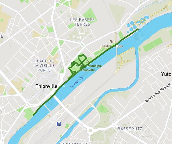
This running route covers 10.091mi starting from Moulins-lès-Metz, Moselle. The run does not return to the trailhead and ends near Lotissement Le Paradis, 54980 Batilly. This run is rated as hard, expect about 1h37m to complete it. The route has an elevation gain of 810ft and an elevation loss of 614ft.
Patrick/BATILLY
Route details
6.24mph
Speed
1109 kcal
Calories burned
Point to point
Route type
581ft
Min altitude
1086ft
Max altitude
Route profile
810ft
Elevation gain
614ft
Elevation loss
581ft
Min altitude
1086ft
Max altitude
How to get there
Trailhead: Rue Du Baoëton, 57160 Moulins-lès-Metz
GPS coordinates of the trailhead: 49.10833, 6.10976 / 49°6'29'' N, 6°6'35'' E