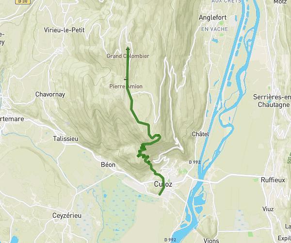
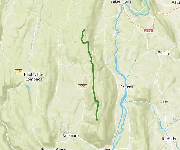
This hiking trail covers 13.948mi starting from Valromey-sur-Séran, Ain. The hike is a loop trail and returns to the trailhead. This hike is rated as strenuous, plan for about 9h4m to complete it. The route has an elevation gain of 1975ft and an elevation loss of 1965ft.
rando equestre valromey ceyverieu
Route details
1.54mph
Speed
3978 kcal
Calories burned
5.4%
Avg grade
Loop trail
Route type
1214ft
Min altitude
2454ft
Max altitude
Route profile
1975ft
Elevation gain
1965ft
Elevation loss
1214ft
Min altitude
2454ft
Max altitude
How to get there
Trailhead: 200 Rue De La Bavoisière, 01260 Valromey-sur-Séran, France
GPS coordinates of the trailhead: 45.88064, 5.67389 / 45°52'50'' N, 5°40'26'' E