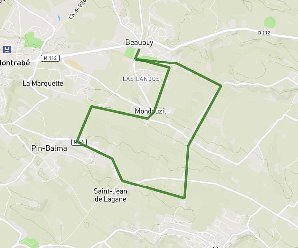
This running route covers 4.674mi starting from Tournefeuille, Haute-Garonne. The run is a loop trail and returns to the trailhead. This run is rated as easy, expect about 50m to complete it. The route has an elevation gain of 20ft and an elevation loss of 20ft.
Vers la SALVETAT
Route details
5.61mph
Speed
572 kcal
Calories burned
Loop trail
Route type
604ft
Min altitude
620ft
Max altitude
Route profile
20ft
Elevation gain
20ft
Elevation loss
604ft
Min altitude
620ft
Max altitude
How to get there
Trailhead: 8 Rue Des Hirondelles, 31170 Tournefeuille, France
GPS coordinates of the trailhead: 43.58935, 1.31316 / 43°35'21'' N, 1°18'47'' E