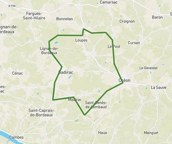
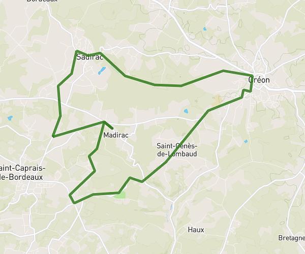
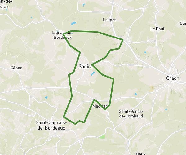
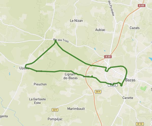
This running route covers 8.837mi starting from Preignac, Gironde. The run is a loop trail and returns to the trailhead. This run is rated as hard, expect about 1h25m to complete it. The route has an elevation gain of 279ft and an elevation loss of 279ft.
pujol
Route details
6.24mph
Speed
972 kcal
Calories burned
Loop trail
Route type
30ft
Min altitude
148ft
Max altitude
Route profile
279ft
Elevation gain
279ft
Elevation loss
30ft
Min altitude
148ft
Max altitude
How to get there
Trailhead: Rue De La République, 33210 Preignac
GPS coordinates of the trailhead: 44.58585, -0.29687 / 44°35'9'' N, 0°17'48'' W