MapPlanner
Subscribe to Explorer
mi
Kilometers
Miles
France (€)
Belgique (€)
United Kingdom (£)
Ireland (€)
United States ($)
Canada ($CA)
Italia (€)
Deutschland (€)
Österreich (€)
España (€)
Schweiz (CHF)
Australia (AU$)
Open user menu
Sign up
Log in
Open main menu
Calculate distance
Search for a route
MapPlanner
Close menu
Subscribe to Explorer
Draw your route
Search for a route
Create an account
Close modal
Log In
Close modal
8.159mi
Distance
2h12m
Time
3.7mph
Speed
338ft
Elevation +
338ft
Elevation -
302ft
Altitude min
446ft
Altitude max
Carnet
Hiking
Nenette
France
Handle
Saint-James
Hikes
Completed on Apr 14, 2024
Route description
La Goudardiere - Carnet, 50240 Saint-James
Starting and ending addresses
Export the route as GPX
Explore other hiking routes around
Hiking
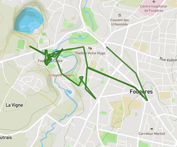
Le Rheu
8,889
mi
•
2
h
20
m
•
+230
ft
Ille-et-Vilaine - Le Rheu
Hiking
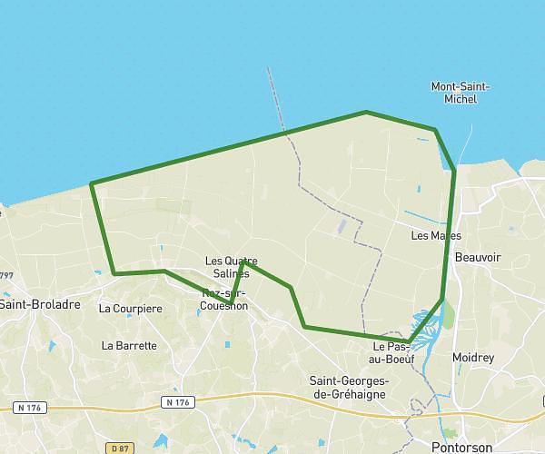
st malo pontorson par le mont
33,074
mi
•
10
h
38
m
•
+217
ft
Ille-et-Vilaine - Saint-Malo
Hiking
St guinoux pointe du grouin
15,116
mi
•
5
h
30
m
•
+581
ft
Ille-et-Vilaine - Saint-Guinoux
Hiking
semi de novembre
13,355
mi
•
4
h
46
m
•
+735
ft
Ille-et-Vilaine - Saint-Coulomb
Success
Success
Success
Success
Close