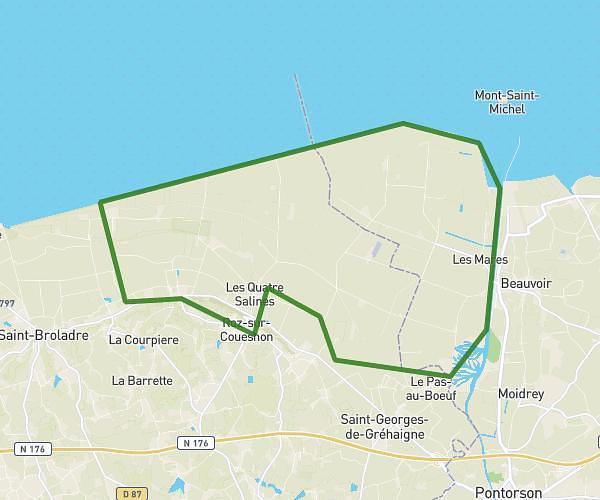
This hiking trail covers 6.327mi starting from Pontorson, Manche. The hike is a loop trail and returns to the trailhead. This hike is rated as moderate, plan for about 4h55m to complete it. The route has an elevation gain of 787ft and an elevation loss of 787ft.
mont saint michel
Route details
1.29mph
Speed
2150 kcal
Calories burned
4.7%
Avg grade
Loop trail
Route type
7ft
Min altitude
171ft
Max altitude
Route profile
787ft
Elevation gain
787ft
Elevation loss
7ft
Min altitude
171ft
Max altitude
How to get there
Trailhead: D 776, 50170 Pontorson, France
GPS coordinates of the trailhead: 48.61095, -1.50444 / 48°36'39'' N, 1°30'15'' W