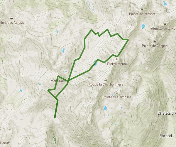
This hiking trail covers 6.838mi starting from La Plagne Tarentaise, Savoie. The hike is a loop trail and returns to the trailhead. This hike is rated as strenuous, plan for about 5h21m to complete it. The route has an elevation gain of 2713ft and an elevation loss of 2713ft.
Mont Rosset
Route details
1.28mph
Speed
2528 kcal
Calories burned
15.0%
Avg grade
Loop trail
Route type
5190ft
Min altitude
7667ft
Max altitude
Steep climb
Route profile
2713ft
Elevation gain
2713ft
Elevation loss
5190ft
Min altitude
7667ft
Max altitude
How to get there
Trailhead: 73210, La Plagne Tarentaise, Savoie, France
GPS coordinates of the trailhead: 45.605572, 6.673762 / 45°36'20'' N, 6°40'25'' E