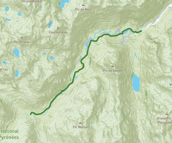
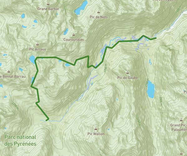
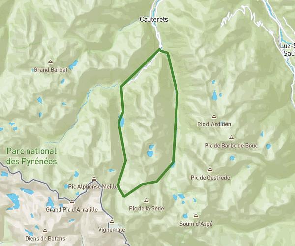
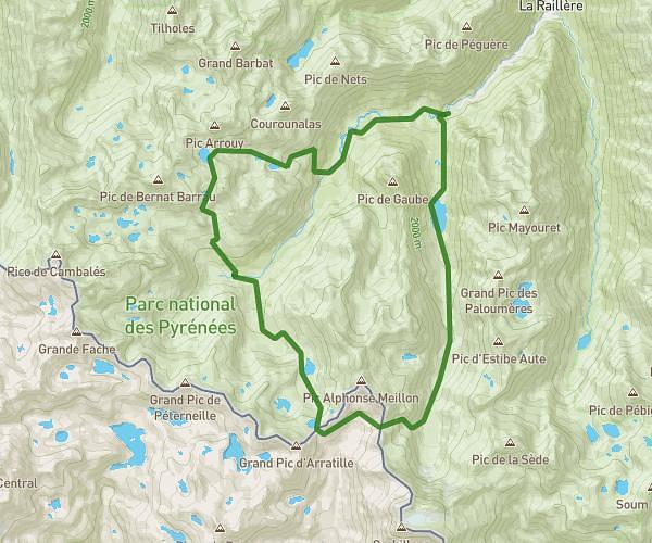
This hiking trail covers 5.07mi starting from Cauterets, Hautes-Pyrénées. The hike does not return to the trailhead and ends near 65110, Cauterets, Hautes-Pyrénées, France. This hike is rated as strenuous, plan for about 3h25m to complete it. The route has an elevation gain of 2336ft and an elevation loss of 3166ft.
JOUR 2
Route details
1.49mph
Speed
1644 kcal
Calories burned
20.6%
Avg grade
Point to point
Route type
6201ft
Min altitude
8471ft
Max altitude
High altitude
Steep climb
Route profile
2336ft
Elevation gain
3166ft
Elevation loss
6201ft
Min altitude
8471ft
Max altitude
How to get there
Trailhead: 65110, Cauterets, Hautes-Pyrénées, France
GPS coordinates of the trailhead: 42.79295, -0.14173 / 42°47'34'' N, 0°8'30'' W