MapPlanner
6.079mi
Distance
48m54s
Duration
7.46mph
Speed
+82ft
Elevation gain
-82ft
Elevation loss
Easy
Level

AR Labarthe

Route details

429 kcal
Calories burned
0.5%
Avg grade
Loop trail
Route type
551ft
Min altitude
633ft
Max altitude

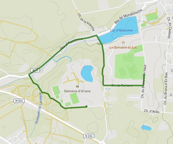
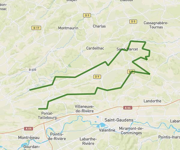
This cycling route covers 6.079mi starting from Lagardelle-sur-Lèze, Haute-Garonne. The ride is a loop trail and returns to the trailhead. This route is rated as easy, plan for about 48m54s to complete it. The route has an elevation gain of 82ft and an elevation loss of 82ft.

Route profile

82ft
Elevation gain
82ft
Elevation loss
551ft
Min altitude
633ft
Max altitude

How to get there

Trailhead: Rue Des Puits, 31870 Lagardelle-sur-Lèze

GPS coordinates of the trailhead: 43.41366, 1.38904 / 43°24'49'' N, 1°23'20'' E

Caution: May Cross Private Property

This route may pass through or near private property. Always respect posted signs, obtain permission where required, and follow local trespassing laws. MapPlanner does not guarantee public access along any route.

Safety Notice

Trail and road conditions may change without notice due to weather, construction, or other factors. Always verify current conditions before heading out. You are responsible for your own safety — follow local signage, obey traffic laws, and use your best judgment on the trail.