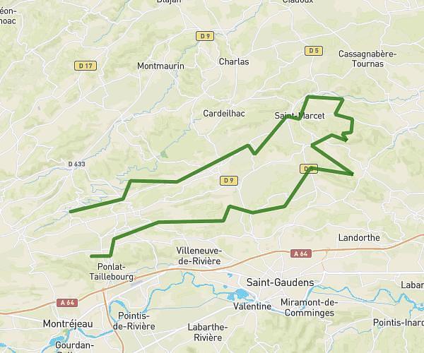
This cycling route covers 5.195mi starting from Lagardelle-sur-Lèze, Haute-Garonne. The ride does not return to the trailhead and ends near 1 Rue Des Puits, 31870 Lagardelle-sur-Lèze, France. This route is rated as easy, plan for about 40m to complete it. The route has an elevation gain of 190ft and an elevation loss of 141ft.
Boucle Lagardelle Eaunes
Route details
353 kcal
Calories burned
1.2%
Avg grade
Point to point
Route type
577ft
Min altitude
705ft
Max altitude
Route profile
190ft
Elevation gain
141ft
Elevation loss
577ft
Min altitude
705ft
Max altitude
How to get there
Trailhead: D 12, 31870 Lagardelle-sur-Lèze, France
GPS coordinates of the trailhead: 43.41723, 1.38454 / 43°25'2'' N, 1°23'4'' E